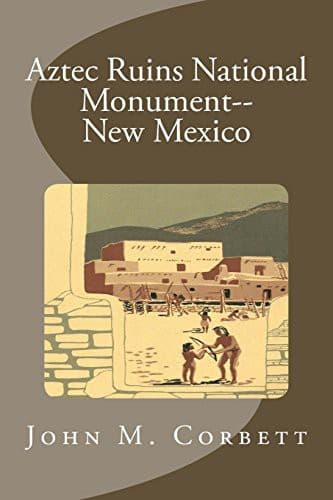
Aztec Ruins National Monument, New MexicoCorbett, John M. (John Maxwell)
History
Aztec Ruins National Monument, New Mexico
Corbett, John M. (John Maxwell)
Aztec Ruins National Monument (N.M.)
Extending southward from the tri-wall structure are two massive parallel
walls made of cobblestones laid in thick mortar, and two more equally
massive walls extend westward from these. There are scattered smaller
walls, also of cobblestones; while we do not know their original
dimensions, they suggest rectangular enclosures which may have contained
house rooms of lighter construction.
The ruins contained within the Aztec Ruins National Monument constitute
a complex of prehistoric remains representative of several different
construction periods. Different groups of Indians seemed to have been
involved at various times, and only further excavation will fully
clarify their relationships.
_The Natural Scene_
Aztec Ruins National Monument is located on the Animas River in
northwestern New Mexico, about 20 miles below the Colorado State line
and 14 miles above the point where the Animas flows into the San Juan.
The monument is on the west bank of the Animas on high ground about
halfway between the river and the low-lying hills and mesas which border
the river valley.
The valley, although narrow at spots, is about 2 miles wide at the point
where the ruins are located. The floor of the valley is composed of
fertile alluvial soil, which produces fine crops if irrigated. Today, as
in prehistoric times, the population of this area is concentrated along
the river. It was this permanent source of water that induced the
builders of the Aztec pueblo, and in later times the white man, to
settle this valley. No doubt many of the fields cultivated today are the
same ones that were tilled by the original inhabitants of the area.
The valley floor and valley terraces are dotted with saltbush,
rabbitbrush, greasewood, and sagebrush. The riverbanks and ditches are
lined with willows and huge cottonwoods. Cattails and reeds grow in the
marshy areas, and wild roses grow in the shady spots. The low hills and
uplands bordering the river valley have a sparse cover of vegetation
because of the small amount of rainfall. Therefore the main growth is
juniper and pinyon. Typical of the Upper Sonoran Life Zone, these small,
hardy trees can withstand dry periods and survive in semiarid country.
Today much of the valley is under cultivation or in pasture, and the
mild and very dry climate is well suited to growing non-citrus fruit.
Elevation at the monument is about 5,600 feet above sea level. Average
annual rainfall is about 9½ inches; the humidity is usually very low.
Temperatures will reach the mid-90’s during July and August, but
evenings are cool and pleasant. Night temperatures in the 60’s are not
uncommon even after the hottest summer days. Occasional afternoon
thundershowers give relief from the heat during late July and August.
[Illustration: Skunk.]
Public-domain text, read in full here on John Shaqi.
Reviews
Reviews
No reviews yet
Be the first to share your thoughts on this work.
Join the Discussion
Join the discussion
Sign in to leave a comment or review.
Sign InorCreate an account