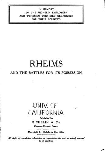
Rheims and the Battles for its PossessionPneu Michelin (Firm)
History
Rheims and the Battles for its Possession
Pneu Michelin (Firm)
Reims (France) -- Guidebooks; World War, 1914-1918 -- Battlefields -- Guidebooks
The road continues to climb the northern slopes of the Mountain of
Rheims. On a hill to the left, the =Chapel of St. Lié= dominates the
surrounding plain. There is a very fine view of Rheims from here.
_The top of the rise is reached soon afterwards. Descend the southern
slopes, passing between the sidings of an_ important material and
ammunition depot situated on the reverse side of the mountain out of
sight of the enemy's observation-posts. _On reaching the crossing
half-way down the hill, leave on the left the two roads leading
respectively to_ =Ville Dommange= _and_ =Courmas=.
_A short distance further on, after passing the road to Onrézy (on the
left), take the following narrow road on the left_, which passes between
clumps of trees that were cut to pieces by shell-fire.
_A little further on, on the right, is a_ cemetery containing the graves
of some two hundred French, British and Italian soldiers.
_Turn to the right after the cemetery._ The road crosses a fine avenue
bordered with shell-torn poplar trees, leading to the =Castle of
Commetreuil= _on the left_. _The village of_ =Bouilly= is reached soon
afterwards.
[Illustration: THE END OF BOUILLY VILLAGE
(_going towards St. Euphraise_).]
=Bouilly--St. Euphraise--Clairizet=
(_See pp. 131-132, and Itinerary, p. 122._)
Bouilly was burnt by the Germans on September 12, 1914, under the
pretext that the inhabitants had caused the death of two _Uhlans_ killed
the day before by French _Chasseurs_.
_Turn to the right opposite the Church of Bouilly._ There is a small
cemetery on the right, just outside the village, containing several
German graves.
_On reaching G.C. 6, leading to Rheims, turn to the right. Take the
first road on the left_, which passes through a small devastated wood,
where batteries of guns were posted. _Cross a small stream, and
immediately afterwards the railway, then turn to the left into the
village of_ =St. Euphraise=.
_Turn to the right in the village, opposite the church._ The road rises
steeply to the hamlet of =Clairizet=, which was almost entirely
destroyed. _Pass by a_ "Calvary," composed of four large trees
surrounding a cross, _then turn to the left into a small narrow street_.
[Illustration: RUINED CHURCH OF ST. EUPHRAISE]
[Illustration: COULOMMES VILLAGE SEEN FROM THE CHURCH]
=Coulommes-la-Montagne--Vrigny=
(_See Itinerary, p. 122._)
_The road rises, then descends to_ =Coulommes-la-Montagne=. _Turn to the
right at the entrance to the village._ The church, in ruins, is on the
left.
_At the cross-roads just outside the village take G.C. 26 on the left.
At first, the road dips rather abruptly, then rises to_ =Vrigny=.
The Church of Vrigny, entirely in ruins, is on the right at the entrance
to the village. _Pass the Town Hall, leaving a public washing-place on
the left, then turn to the right._
_On leaving the village, take G.C. 26 on the left to the village of_
=Gueux=.
[Illustration: RUINS OF THE CHURCH AT VRIGNY]
Public-domain text, read in full here on John Shaqi.
Reviews
Reviews
No reviews yet
Be the first to share your thoughts on this work.
Join the Discussion
Join the discussion
Sign in to leave a comment or review.
Sign InorCreate an account