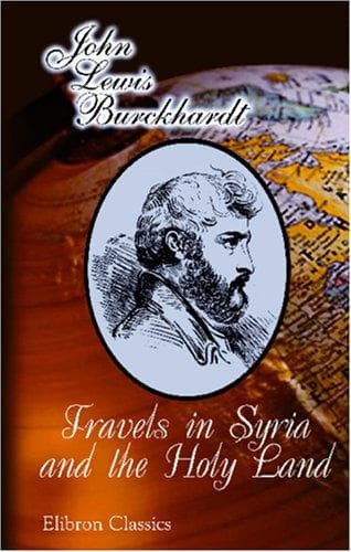
Travels in Syria and the Holy LandBurckhardt, John Lewis
History
Travels in Syria and the Holy Land
Burckhardt, John Lewis
Palestine -- Description and travel; Syria -- Description and travel
From Kessoue a slight ascent leads up to a vast plain, called Ard
Khiara, from a village named Khiara. In three quarters of an hour from
Kessoue we reached Khan Danoun, a ruined building. Here, or at Kessoue,
the pilgrim caravan passes the second night. Near Khan Danoun, a rivulet
flows to the left. This Khan, which is now in ruins, was built in the
usual style of all the large Khans in this country: consisting of an
open square, surrounded with arcades, beneath which are small apartments
for the accommodation of travellers; the beasts occupy the open square
in the centre. From Khan Danoun the road continues over the plain, where
few cultivated spots appear, for two hours and a quarter; we then
reached a Tel, or high hill, the highest summit of the Djebel Khiara, a
low mountain chain which commences here, and runs in a direction
parallel with the Djebel Manai for about twenty miles. The mountains
Khiara and Manai are sometimes comprised under the name of Djebel
Kessoue, and so I find them laid down in D'Anville's map. The summit of
Djebel Khiara is called Soubbet Faraoun. From thence begins a stony
district, which extends to the village Ghabarib [Arabic], one hour and a
quarter from the Soubbet. Upon a hill to the W. of the road, stands a
small building crowned with a cupola, to which the Turks resort, from a
persuasion that the prayers there offered up are peculiarly acceptable
to the deity. This building is called Meziar Eliasha [Arabic], or the
Meziar of Elisha. The Hadj route has been paved in several places for
the distance of a hundred yards or more, in order to facilitate the
passage of the pilgrims in years when the Hadj takes place during the
rainy season.
SZANAMEIN.
[p.55]Ghabarib has a ruined castle, and on the side of the road is a
Birket or reservoir, with a copious spring. These cisterns are met with
at every station on the Hadj route as far as Mekka; some of them are
filled by rain water; others by small streams, which if they were not
thus collected into one body would be absorbed in the earth, and could
not possibly afford water for the thousands of camels which pass, nor
for the filling of the water-skins.
At one hour beyond Ghabarib is the village Didy, to the left of the
road: one hour from Didy, Es-szanamein [Arabic], the Two Idols; the
bearing of the road from Kessoue is S.b.E.[The variation of the compass
is not computed in any of the bearings of this journal.] Szanamein is a
considerable village, with several ancientbuildings and towers; but as
my companions were unwilling to stop, I could not examine them closely.
I expected to revisit them on my return to Damascus, but I subsequently
preferred taking the route of the Loehf. I was informed afterwards that
many Greek inscriptions are to be found at Szanamein.
Public-domain text, read in full here on John Shaqi.
Reviews
Reviews
No reviews yet
Be the first to share your thoughts on this work.
Join the Discussion
Join the discussion
Sign in to leave a comment or review.
Sign InorCreate an account