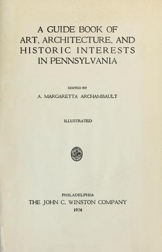
A guide book of art, architecture, and historic interests in Pennsylvania
History
A guide book of art, architecture, and historic interests in Pennsylvania
Architecture -- Pennsylvania; Art -- Pennsylvania; Historic buildings -- Pennsylvania; Pennsylvania -- Guidebooks; Pennsylvania -- History
First permanent settlement was made in 1750, by a Scotchman named Ray
(McRay), an Indian trader, near present site of Bedford, then Raystown.
In 1755, Colonel James Burd was appointed by the province to construct
the first wagon road, from Fort Louden, Franklin County, to join
Braddock’s road near Turkey Foot, Somerset County, passing through
Raystown (Bedford), practically identical with the Chambersburg and
Bedford Turnpike, now Lincoln Highway. On western border where this road
crosses main range of the Alleghenies, at a point two-thirds of the
ascent, is a view unsurpassed in the picturesque charm of the
landscape, stretching far and wide. The highway follows the main course
of the Raystown Branch of the Juniata, crossing this stream at least
four times; bridges are iron or old wooden ones.
The fort at Raystown was constructed in 1758 by the vanguard of General
Forbes’ army; it embraced about seven thousand square yards, occupying
the bluff now bounded on the east by Richard Street; south, Pitt Street
(Lincoln Highway); west, Juliana Street; north, the Raystone River; it
was the most prominent military stronghold in the central part of the
province, and the principal rendezvous of troops forming the right wing
of General John Forbes’ army in his expedition against Fort Duquesne,
5850 men, besides wagoners; largest single contingent was 2700
Pennsylvania provincials under Colonel Bouquet, who had chief charge of
entire force, until General Forbes arrived; the 1600 Virginians were
under command of Colonel George Washington and Colonel William Byrd. In
1759, General John Stanwix, then in command of the garrison, had the
name changed to Fort Bedford, in honor of the Duke of Bedford; now no
trace of the fortification remains.
In 1794, Bedford became the headquarters of General Henry Lee, Governor
of Virginia, who was commander in chief of the army of 13,000 troops
raised to quell the Whiskey Insurrection; President Washington, after
reviewing the troops at Carlisle and Cumberland, came to Bedford and
made his headquarters in a stone house on Pitt Street, house still
standing.
BEDFORD, county seat, population 2330; laid out, 1766, by Surveyor
General John Lukens, with a commodious square, in the most convenient
place. Courthouse erected, 1828, colonial with clock tower, architect
and contractor, Solomon Filler, faces the square. Opposite is the United
States Post Office, built, 1915, Indiana limestone, classic, Doric
columns, architect, Oscar Wenderoth; also facing the square are the
Presbyterian Church, colonial, built, 1828, on site of an earlier one
built in 1810; and the Lutheran Church, fine two-story building and
parsonage. The Soldiers’ Monument in honor of Bedford County volunteers
in Civil War occupies center of square. Handsome memorial colonial
gateway forms entrance to Bedford Cemetery, stone, with bronze tablets.
Public-domain text, read in full here on John Shaqi.
Reviews
Reviews
No reviews yet
Be the first to share your thoughts on this work.
Elsewhere in the archive
Join the Discussion
Join the discussion
Sign in to leave a comment or review.
Sign InorCreate an account