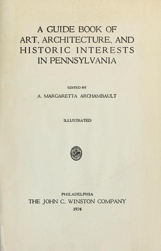
A guide book of art, architecture, and historic interests in Pennsylvania
History
A guide book of art, architecture, and historic interests in Pennsylvania
Architecture -- Pennsylvania; Art -- Pennsylvania; Historic buildings -- Pennsylvania; Pennsylvania -- Guidebooks; Pennsylvania -- History
Fort Burd was erected in 1759, on site of “Redstone Old Fort,” an Indian
earthwork, now Brownsville; this was called Nemacolin’s trail, and was
the best course for the Ohio Company to reach the Ohio River. It was
followed by Washington, with Christopher Gist, to the French forts in
1753, the first actual step here, in conflict with France. During the
“French and Indian War” Fayette County was the scene of some of the most
thrilling events in American history. In 1745 Washington’s expedition to
gain possession of the Ohio Valley followed this trail to drive the
French from “The Forks” (Pittsburgh); he advanced to Gist’s Plantation
at Mount Braddock, then retreated to The Great Meadows, Fort Necessity,
marked by tablet at Mount Washington, where he was defeated by the
French under M. Coulon de Villers; previous to this, Washington had met
a detachment of French soldiers under M. Coulon de Jumonville, in which
Jumonville was killed, grave marked by tablet; first blood shed in
French and Indian War.
In 1755 Major General Edward Braddock’s expedition against Fort Duquesne
followed Nemacolin’s trail to Mount Braddock, thence over Catawba trail,
which enters Fayette County at mouth of Dunkards Creek; northward
through Uniontown, crossing the Youghiogheny (Stewarts Crossing) at
Connellsville, on through Mount Pleasant to Westmoreland County,
Hunkers, Circleville, to McKeesport; crossing the Monongahela, then
recrossing below at mouth of Turtle Creek. General Braddock, mortally
wounded in the battle of the Monongahela, was carried back over the road
he had opened to a point on the Cumberland Road, National Pike, where
he died and was buried; Washington read the Episcopal burial service
over him; grave marked by monument, erected by officers of his old
regiment, the “Coldstream Guards of England.” Braddock’s Road became the
main highway for settlers of Southwest Pennsylvania and Kentucky; the
entire course is full of historic interest; sites of encampments,
blockhouses and Indian forts; some are marked.
UNIONTOWN, county seat, formed, 1776; population 15,692. Courthouse,
Italian Renaissance; stone; architects, E. M. Butz and William Kauffman,
Pittsburgh. Presbyterian Church has fine Tiffany windows. Mr. James
Hadden, the historian of Fayette County, has a life-size bust of
Washington, cut by himself from the wood of a wild cherry tree, which
grew within the lines of Fort Necessity, in 1784. Washington owned the
land on which the tree stood. Two miles south is Fort Gaddis, only
frontier or settlers’ fort now standing in Fayette County, marked by
tablet in 1908; there were sixteen such forts in this county, built of
heavy logs, making durable houses for the frontiersmen, and safe retreat
for neighboring settlers.
Public-domain text, read in full here on John Shaqi.
Reviews
Reviews
No reviews yet
Be the first to share your thoughts on this work.
Elsewhere in the archive
Join the Discussion
Join the discussion
Sign in to leave a comment or review.
Sign InorCreate an account