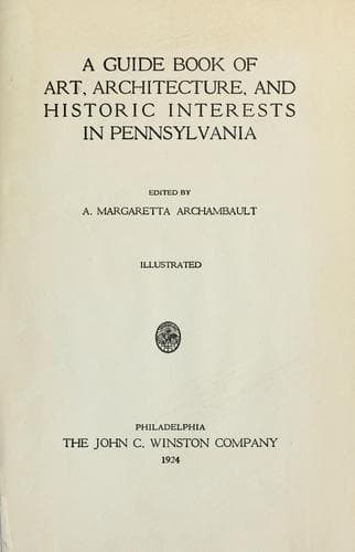
A guide book of art, architecture, and historic interests in Pennsylvania
History
A guide book of art, architecture, and historic interests in Pennsylvania
Architecture -- Pennsylvania; Art -- Pennsylvania; Historic buildings -- Pennsylvania; Pennsylvania -- Guidebooks; Pennsylvania -- History
The Susquehanna River, one mile wide here, is spanned by three other
bridges; Mulberry Street viaduct is said to be largest reinforced
concrete bridge in the world, designed and erected by James H. Fuertes;
stone arch bridge of the Pennsylvania Railroad at Rockville, said to be
the largest four-track stone bridge in the world. Historic buildings;
residence of William Maclay, first United States Senator from
Pennsylvania, built in 1791; original building intact, with large wing
added; on upper river front above South Street, used later by the
Harrisburg Academy. Old Derry Church, Derry Township, a Presbyterian
settlement since 1724, first log church built in 1732; present stone
building on first site, built, 1883; has burial ground of much historic
interest; Old Hanover Church, Presbyterian, eleven miles from
Harrisburg, first log church built on Bow Creek in 1735; present
building closed; the ancient burial ground is chief point of interest.
Old Paxtang Church, Presbyterian, three miles east of Harrisburg, first
log church said to have been built in 1716, with burial ground; present
stone building built, 1740. Bronze gate and tablet at Paxtang Cemetery
is memorial to soldiers of the French and Indian War and the Revolution;
dedicated in 1906 by Harrisburg Chapter, Daughters of the American
Revolution. Fort Hunter, five miles from Harrisburg on Fort Hunter and
Fishing Creek Road, was laid out about 1760, on a high bluff facing the
Susquehanna River, colonial house, built in 1814 by Colonel Archibald
McAllister, is on foundations of an English blockhouse known as Hunter’s
Fort.
XVII
LUZERNE COUNTY
Formed September 25, 1786; named in honor of Anne Cæsar, Chevalier de la
Luzerne, minister from France to the United States 1779-83. Ranks third
in number of inhabitants of Pennsylvania counties. Along either bank of
the Susquehanna, a broad and shallow river, lie rich, fertile, alluvial
bottom lands, mostly well cultivated; bounding them are ranges of hills
and mountains 1200-1600 feet above sea level; other mountains in the
northwest of the county attain an altitude of 2200 feet. In the
northeast lies the historic Wyoming Valley, Indian name, Maughwauwama,
or large plains, a long, oval basin from Campbell’s Ledge to Nanticoke
Falls, some sixteen miles in length, with an average breadth of three
miles.
Luzerne County lies within the limits of the Connecticut Charter,
granted in 1662, and within the limits of the Pennsylvania Charter
granted in 1681; this double ownership caused much contention in later
years, finally the Susquehanna Company of Connecticut was victorious;
settlers now came rapidly, and by 1778 were distributed in several
villages, with schools, churches, and all the characteristics of New
England orderliness and thrift, enthusiasm and devoted patriotism. The
British leader, Colonel John Butler, saw that this settlement was
exposed in position, and that they had sent the
[Illustration: LUZERNE COUNTY]
Public-domain text, read in full here on John Shaqi.
Reviews
Reviews
No reviews yet
Be the first to share your thoughts on this work.
Elsewhere in the archive
Join the Discussion
Join the discussion
Sign in to leave a comment or review.
Sign InorCreate an account