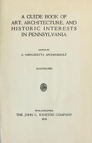
A guide book of art, architecture, and historic interests in Pennsylvania
History
A guide book of art, architecture, and historic interests in Pennsylvania
Architecture -- Pennsylvania; Art -- Pennsylvania; Historic buildings -- Pennsylvania; Pennsylvania -- Guidebooks; Pennsylvania -- History
buildings as a decorative and educational element; portrait of Jane E.
Leonard, principal since opening in 1875, artist, H. S. Stevenson,
Pittsburgh, was given by the alumni; and interesting class windows in
Leonard Hall, given by three separate graduate classes, makers, Rudy
Brothers, Pittsburgh; near the borough is Devil’s Elbow, one of nature’s
beauty spots.
Armstrong Spring, an old Indian camping ground, on Indian Trail,
“Kittanning Path,” which passed north of the Rice Hill, west to this
spring, in private property, and through normal school grounds to
Kittanning, Armstrong County; over this trail Lieut. Colonel John
Armstrong was sent with seven companies against Indians, at the battle
of Blanket Hill, Kittanning, in 1756. Two miles west on Kittanning Pike
is site of Clark’s blockhouse, first building in the county, the spring
and part of old stone fort are still there, not marked.
CHERRY TREE, on Susquehanna River prominent point on old purchase line,
in treaty of William Penn with the Indians at Fort Stanwix, 1768, also
called “Canoe Point”; from here, the Indians carried their canoes to the
Allegheny River at Kittanning, sixty miles away; a direct line between
these two points formed part of the boundary of lands acquired from the
Six Nations. Where original Cherry Tree stood is the meeting point of
Indiana, Cambria, and Clearfield counties, monument erected by county
commissioners; designed by E. F. Carr & Company, Quincy, Massachusetts,
unveiled 1894; Governor Beaver made the address; inscription, “This
monument is erected to mark Canoe Place, the corner of the Proprietaries
Purchase from the Indians by Treaty at Fort Stanwix, New York, November
5, 1768.” In the southeast is a tunnel, part of old portage railroad
through spur of Alleghenies, where the Conemaugh makes a bend of two and
one-half miles. Near are Aurora Falls, for sixty feet over rock and
through a picturesque gorge to the Conemaugh River (Kiskiminetas) which
forms southern boundary, tributary streams fall twenty to thirty feet to
the mile.
Public-domain text, read in full here on John Shaqi.
Reviews
Reviews
No reviews yet
Be the first to share your thoughts on this work.
Elsewhere in the archive
Join the Discussion
Join the discussion
Sign in to leave a comment or review.
Sign InorCreate an account