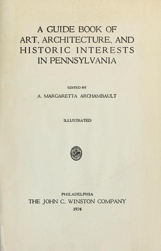
A guide book of art, architecture, and historic interests in Pennsylvania
History
A guide book of art, architecture, and historic interests in Pennsylvania
Architecture -- Pennsylvania; Art -- Pennsylvania; Historic buildings -- Pennsylvania; Pennsylvania -- Guidebooks; Pennsylvania -- History
Formed March 1, 1811, named for the Schuylkill River; was purchased from
the Six Nations in 1749. George Godfried Orwig, first settler, in 1747,
lived at Sculp Hill; he was followed by other Germans. ORWIGSBURG, first
county seat, in 1811, was founded in 1796, by Peter Orwig, son of
George; old courthouse still standing, is used as a factory; extensive
views from here of mountains and agricultural valleys. In chain of
frontier forts, were Franklin, built, 1756, by order of Benjamin
Franklin; Fort Henry, south of Pinegrove; and Fort Lebanon, later known
as Fort William, the most important, its site near Auburn, is marked by
boulder with bronze tablet, inscription, “On this site stood Fort
Lebanon, built, 1775, by Colonel Jacob Morgan, for protection of early
settlers against Indians, erected in 1913 by Mahantongo Chapter,
Daughters of the American Revolution, Pottsville, Pa.” Indian warriors
came down from the mountains and made savage forays on the peaceful
farms, in which many people were massacred, and mills and houses were
burned; the old oak tree is standing near, from which sentinels took
observations; in this fort the first religious services in the county
were held.
One mile from Fort Lebanon is the old Red Church, built in 1755,
destroyed by Indians, 1756, rebuilt, 1776, celebrated its
sesquicentennial in 1905. This county revels in picturesque scenery;
excellent roads curve through valleys of surpassing richness and
fertility, or wander along a ridge with glorious views on either side;
in the north, the sky line of a mountain range is often broken by a
weird coal breaker; in every direction there is beauty and interest.
Laurel may be seen by the acre, and much rhododendron. Great cliffs of
various colored conglomerate rock are found throughout the county.
This is the southern limit of the ANTHRACITE COAL fields in east central
Pennsylvania, the only ones of importance in the United States; divided
into three well-known trade regions, Wyoming; Lehigh; and Schuylkill;
comprising an area of 480 square miles, in the counties of Carbon,
Columbia, Lackawanna, Northumberland, Luzerne, Susquehanna, and
Schuylkill. Discovered in Schuylkill County by Nicho Allen in 1790;
while camping out overnight, he built a fire among some rocks, under
shelter of the trees; during the night, being awakened by unusual heat
he saw the rocks a mass of glowing fire, he having ignited the outcrop
of a bed of coal. The birth of this great productive industry may be
dated from 1820, when 365 tons were sent to Philadelphia from the head
waters of the Lehigh River. 80,000,000 tons per annum are now produced;
location of coal was shown in William Scull’s map of Pennsylvania
published in 1770; three places marked.
Public-domain text, read in full here on John Shaqi.
Reviews
Reviews
No reviews yet
Be the first to share your thoughts on this work.
Elsewhere in the archive
Join the Discussion
Join the discussion
Sign in to leave a comment or review.
Sign InorCreate an account