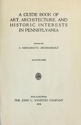
A guide book of art, architecture, and historic interests in Pennsylvania
History
A guide book of art, architecture, and historic interests in Pennsylvania
Architecture -- Pennsylvania; Art -- Pennsylvania; Historic buildings -- Pennsylvania; Pennsylvania -- Guidebooks; Pennsylvania -- History
Formed April 19, 1850, named for Robert Fulton. The Tuscarora Mountains
rise like a huge barrier on the eastern boundary, with numerous other
ridges and peaks. Streams that flow into the Potomac River are largely
fed by splendid limestone springs. From the Susquehanna to the Ohio
River the scenery cannot be surpassed for picturesque beauty; far
sweeping valleys, rugged mountains, grand forests, form a constantly
changing panorama. It is both beautiful and historic. The Chambersburg
and Pittsburgh Turnpike, built in 1814-15, now the Lincoln Highway, was
first an old Indian trail from Harrisburg, through Fort Louden, Clinton
County, and westward to Bedford, crossing the center of the county.
In the days following Braddock’s defeat in 1755, this region became the
arena in which the red warrior of the forests and the white frontiersman
fought to the death. Not a valley, creek, nor mountain range, site of
modern city or town, but what was the scene of thrilling events, some of
which influence the world for all time. Early settlers were
Scotch-Irish, on the Aughwick, and in the great cove. Chief industries,
iron ore, bituminous coal, and agriculture. Dickey’s Mountain, in the
southeast, is rich in hematite and fossil ores.
MCCONNELLSBURG, county seat; population 689; land granted to William and
Daniel McConnell by
[Illustration: FULTON COUNTY]
warrant in 1762, is in the heart of the great cove; it was laid out in
1786, and in 1830 was one of the most important stopping places on the
old turnpike. Here, from 1827-47 were the Hanover Iron Works, two
furnaces, and two forges, that used hematite ore, mined from Lowry’s
Knob, one mile distant. It is said that no territory of equal extent in
this state is so rich in iron ore as is Fulton County. Fort Littleton in
the north was one of a chain of government forts from the east to Fort
Pitt. BURNT CABINS, on the old state road, was named because of the
burning of the cabins of early settlers near here by the provincial
authorities. It is said that Fulton County contributed more men to the
Civil War, in proportion, than any other county in Pennsylvania.
[Illustration: MONTOUR COUNTY]
LXIV
MONTOUR COUNTY
Formed May 3, 1850; named for Catharine Montour; surface hilly;
traversed by several barren ridges. Muncy Hills lie along the northwest
border, while down the river for miles stretches the Montour Ridge,
furnishing quantities of best iron ore; there is also finest limestone;
and much fertile land, drained by the Chillisquaque and Mahoning creeks.
Chief industries are iron and steel production, and manufactories. Here,
it is said, the first “T” rail was made, in 1844, and the first cannon
in the United States, made of anthracite iron, was cast at the foundry
in 1842.
Public-domain text, read in full here on John Shaqi.
Reviews
Reviews
No reviews yet
Be the first to share your thoughts on this work.
Elsewhere in the archive
Join the Discussion
Join the discussion
Sign in to leave a comment or review.
Sign InorCreate an account