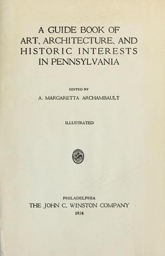
A guide book of art, architecture, and historic interests in Pennsylvania
History
A guide book of art, architecture, and historic interests in Pennsylvania
Architecture -- Pennsylvania; Art -- Pennsylvania; Historic buildings -- Pennsylvania; Pennsylvania -- Guidebooks; Pennsylvania -- History
LACKAWANNA COUNTY
Formed August 13, 1878; named for the great Lackawanna coal basin; an
Indian word, signifying “The Forks of a Stream.” Chief industry,
anthracite coal mining, confined to the long-depressed trough forming
the Lackawanna Valley and to the mountains bordering it on both sides,
with Bald Mountain, in Lackawanna Range, 2250 feet high, and Big Stoney
among the Moosic Mountains, 2230 feet. Originally settled by Connecticut
people who disputed the right of Pennsylvania to jurisdiction; life and
growth have been the result of the coal-mining industry, which brought
into it large numbers of Welsh, Irish, German, English, and Scotch,
whose descendants dominate the region; latterly have come Polish, Slavs,
Italians, and Lithuanians, a heterogeneous but rapidly assimilating
mining population.
The mining of anthracite coal began at Carbondale in the early twenties;
the old No. 1 plane is marked with monument and tablets; coal was taken
over the Moosic Mountains to Honesdale, Wayne County, by steep inclined
planes, up which the loaded cars were drawn by ropes or cables, and the
empty cars let down; thence by canal to Roundout, on the Hudson; on the
levels, between planes, cars were drawn by horses; later a descending
grade was given to the tracks over which the cars ran by gravity; a
similar gravity railroad near Scranton, carried coal to the Delaware &
Hudson Canal at Hawley, below Honesdale, both now abandoned for steam
roads.
The country northwest has well-cultivated farm lands; that, southeast,
blends with the Pocono Highlands, is wild and picturesque; an almost
unbroken wilderness for thirty miles, excepting along the line of the
Delaware, Lackawanna & Western Railroad; on both sides of this road are
good highways; the main road, the whole length of the valley, is
exceptionally fine. The road from Gouldsboro Station was built by Jay
Gould, 1855, when he was interested with Mr. Pratt in a tannery at
Gouldsboro (now Thornhurst).
At Carbondale, crossing Moosic Mountains, is road to Honesdale,
following the line of the old Delaware & Hudson gravity road; at
Dundaff, about five miles north of Carbondale, this road runs along the
edge of Crystal Lake, near are the Twin Knobs of Elk Hill, about 2500
feet high. A point of geologic interest is the Archbald Pot Hole, said
to be largest of the kind in this country; a cylindrical hole twenty
feet deep, by thirty feet wide, eroded in the ice age through the
overlying rocks down to the coal measures.
SCRANTON, county seat, population 137,783; laid out on site of an Indian
village, Muncy Tribe; began as an iron town; iron in large quantities
was found in the hills three miles south of the city, and a suitable
quality of limestone was also supposed to exist there; but the coal
business superseded; the old ore mine, and abandoned road to furnaces at
Scranton, are of historic and picturesque interest.
Public-domain text, read in full here on John Shaqi.
Reviews
Reviews
No reviews yet
Be the first to share your thoughts on this work.
Elsewhere in the archive
Join the Discussion
Join the discussion
Sign in to leave a comment or review.
Sign InorCreate an account