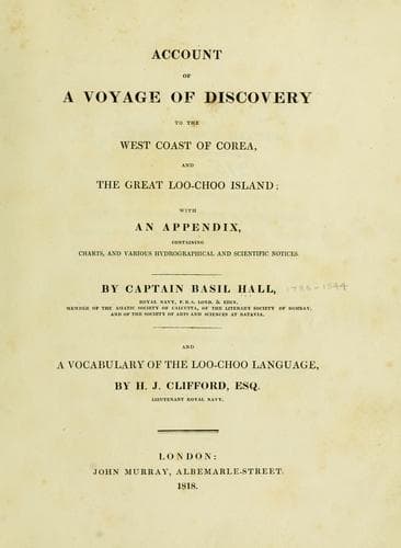
Account of a voyage of discovery to the west coast of Corea, and the great Loo-Choo IslandHall, Basil
History
Account of a voyage of discovery to the west coast of Corea, and the great Loo-Choo Island
Hall, Basil
Korea -- Description and travel; Ryukyu Islands -- Description and travel
5th of September.--At 11 A.M. we got under weigh and stood to the
south-west among the islands, carrying seven, eight, nine, ten, to
fifteen fathoms, and occasionally deepening to seventeen fathoms. At
4.45 we observed in longitude 126º 24-1/2' east, and latitude 35º 52'
north at this time.
[Sidenote: Bearings.]
Two islands bore north half east, seven miles.
A remarkable small black island, west 32º, north four miles.
Another, west 22º north, seven miles.
A range of islands, from east 10º north, to east 16º south.
A long island, from south 25º east, to south 11º east.
The islands off which we anchored on the 2nd instant bearing about north
10º west.
Two islands, from south 16º west, to south 25º west.
[Sidenote: Main land.]
The main land from south south-east to north-east, high and rugged.
We had a sea breeze to-day, and fine weather. Variation 2º 10' westerly.
We ran on by moonlight till 11 P.M., and then anchored among the
islands. Latitude, observed by Polaris 35º 26' north. Longitude, at
anchor by chronometer next morning 126º 23' 22" east. From this spot the
main land was seen from east 12º north, to south 20º east.
[Sidenote: Bearings.]
A rock, west 7º south, four miles.
An island, from west 15º north, to west 31º north, 4-1/2'.
Three islands, extending from west 36º south, to west 45º south, 3'.
Two distant ones in the same direction.
Cluster of islands, from west 64º south, to west 84-1/2º south.
Large island, north 12º west, ten or twelve miles.
A cluster of islands, from north 15º east, to north 28º east.
Two distant islands, north 32º east.
Two others, north 42º east.
[Sidenote: Channels between the islands generally deep.]
6th of September.--Weighed and stood to the southward. At noon observed
in 35º 17' north, longitude 126º 28-1/2' east, being then in the centre
of a semicircle of islands, extending from north-east to south-east and
south-west. During the forenoon the flood tide set strong to the north
north-east against us. Most of the channels between the islands were
deep, but to-day we tried one which had not more than five and a half
fathoms. At 4.30. took sights, when a long bluff island bore east
north-east a quarter of a mile. Longitude 126º 6' 37" east; latitude 35º
6' north. This island is the most westerly of the range of islands which
lie between the latitude 35º and 36º north. High and connected land was
faintly discernible to the eastward. The soundings were generally from
nine to fifteen fathoms, deepening in most cases on approaching the
bluff islands.
[Sidenote: Flood tide runs to the northward.]
[Sidenote: Windsor Castle.]
[Sidenote: Bearings.]
Public-domain text, read in full here on John Shaqi.
Reviews
Reviews
No reviews yet
Be the first to share your thoughts on this work.
Elsewhere in the archive
Join the Discussion
Join the discussion
Sign in to leave a comment or review.
Sign InorCreate an account