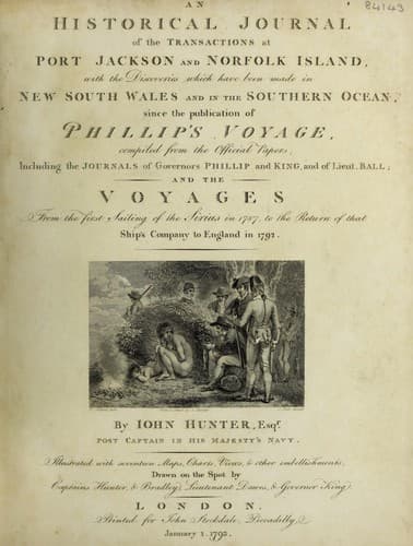
An Historical Journal of the Transactions at Port Jackson and Norfolk IslandHunter, John
History
An Historical Journal of the Transactions at Port Jackson and Norfolk Island
Hunter, John
New South Wales -- History -- Sources
From this reef we steered west-south-west, and at six in the
afternoon, we saw an island bearing west half south; we hauled to
the southward to weather it, and at day-light in the morning of
the 20th, it bore north, distant seven leagues; its latitude is
4 deg. 56' south, and the longitude observed that morning
115 deg. 40' east; this we supposed to be Poolo Laut: we kept the
lead going all night, and had from twenty to twenty-eight
fathoms; the wind fresh from south-east by south.
We continued to steer west-south-west, and, for about fourteen
leagues, we crossed a flat of sixteen fathoms. At midnight on the
21st, we saw an island bearing west-north-west three or four
miles distant; this we supposed to be the island of Solombo; its
latitude is 5 deg. 42' south, and the longitude 114 deg. 24'
east. We continued to steer to the westward, and had from
twenty-five to thirty-five fathoms until day-light in the morning
of the 23d, when we made the islands called Cariman Java; the
middle or principal one is large, and of very considerable
height; it is encompassed by many smaller ones, some of which are
well covered with wood: the latitude of the south side of these
islands is 5 deg. 21' south, and the longitude 110 deg. 33'
east.
On the morning of the 24th, we saw a number of water spouts
and whirlwinds, some of which came so very near that we fired a
few guns, in hopes that the concussion of the air would have
dispersed them; but our guns were too small to give a sufficient
shock to the atmosphere; however, a good breeze of wind sprung up
and carried us clear of them. We steered from Cariman Java, west,
and in the evening of the 25th, we made the small islands called
the Boomkins, which lie about five leagues from the Coast of
Java; we passed about three miles within them, and saw the shore
of Java. During part of the night we steered west-north-west to
avoid some sunken rocks which are laid down to the westward. The
south side of the Boomkins lies in latitude 5 deg. 56' south, and
longitude 108 deg. 21' east.
In the morning, we saw Carawang Point on Java, bearing
south-south-west six or seven miles; and at five in the afternoon
of the 27th, we anchored in Batavia Road, after a passage from
Port Jackson of twenty-six weeks.
[A Table of the winds and weather, etc. on a passage from Port Jackson,
New South Wales, to Batavia in the Waaksamheid Transport.]
[The tables are included in the HTML version]
Chapter X
A VOYAGE TO THE CAPE OF GOOD HOPE
September 1791 to April 1792
Captain Hunter waits on the Governor at Batavia.--Applies for a
passage to England.--Purchases the Waaksambeyd for that purpose.--Leaves
Batavia.--Passes the Keelings.--Arrives at the Cape of Good Hope.--Leaves
that place, and anchors at Saint Helena.--Departs from Saint Helena.--
Arrives at Portsmouth.--Tables for the variation of the compass.--Captain
Hunter's letter to the Lords of the Admiralty.-
Public-domain text, read in full here on John Shaqi.
Reviews
Reviews
No reviews yet
Be the first to share your thoughts on this work.
Elsewhere in the archive
Join the Discussion
Join the discussion
Sign in to leave a comment or review.
Sign InorCreate an account