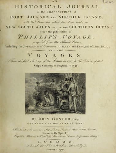
An Historical Journal of the Transactions at Port Jackson and Norfolk IslandHunter, John
History
An Historical Journal of the Transactions at Port Jackson and Norfolk Island
Hunter, John
New South Wales -- History -- Sources
At ten o'clock in the forenoon, being abreast of the
south-east point of the island, we bore up and made sail,
steering west-north-west. Lieutenant Ball requesting me to name
this island, I called it _Prince William-Henry Island_, in
honour of his Royal Highness the Duke of Clarence. In making this
island from the eastward, a very high mount rises in the center
of it, which Lieutenant Ball named _Mount Phillip_, in
honour of Governor Phillip: it lies west-north-west from
Tench's-Island, and is situated in 1 deg. 32' south latitude, and
149 deg. 30' east longitude.
At midnight on the 22d, we had a perfect deluge of rain, but
it did not continue more than a quarter of an hour. We had now a
vast number of tropic birds and ganets round the vessel: the sea
was covered with trees of the largest size, which had both roots
and branches to them; there were also cocoa-nut trees,
sugar-cane, bamboo, and a variety of other drift wood: many of
the trees were so large, that we could plainly see them at the
distance of two leagues: most of the roots lay to the
west-north-west, from which circumstance, and the vessel being
considerably to the westward of account by the time-keeper, we
were induced to suppose that a strong current set in that
direction. We steered west-north-west until the 4th of June, with
moderate breezes from the eastward, and pleasant weather: the sea
was constantly covered with large entire trees, junks of wood,
bamboos, and a variety of other drift wood and rock weed. Our
latitude at noon on the 4th, was 4 deg. 33' north, and the
longitude, by the time-keeper, 127 deg. 58' east.
At day-light the next morning, we saw an island bearing
north-west, which is called _Kercolang_ in the charts;
finding we could not weather the south end, we bore up to go to
the northward of it. At noon, it bore from north 68 deg. west to
south 41 deg. west: our latitude was 4 deg. 25' north, and the
longitude, by lunar observation, 126 deg. 50' east. Another
island, called _Kerolang_ in the charts, bore from north to
north 14 deg. east; having a remarkable hummock on the east end
of it.
Public-domain text, read in full here on John Shaqi.
Reviews
Reviews
No reviews yet
Be the first to share your thoughts on this work.
Elsewhere in the archive
Join the Discussion
Join the discussion
Sign in to leave a comment or review.
Sign InorCreate an account