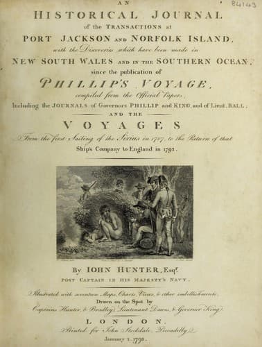
An Historical Journal of the Transactions at Port Jackson and Norfolk IslandHunter, John
History
An Historical Journal of the Transactions at Port Jackson and Norfolk Island
Hunter, John
New South Wales -- History -- Sources
In my opinion, ships going through the streights of Salayer
from the westward, should bring the north point of _Salayer-
to bear east, or east half north, with which course there could
be no risk from that bank. We now steered west by south, and
having run sixty-six miles in that direction from the streights
of Salayer, on the morning of the 29th, we saw some high land on
the Celebes, bearing north-east nine leagues distant; this must
be the land between the south-west point of Celebes, and the
islands called, by Captain Carteret, _Tonakiky_; so that the
end of Celebes from the streights of Salayer to the south-west
point cannot be more than twenty leagues, as Mr. Dalrymple has
already observed in a small pamphlet.
Lieutenant Ball directed the vessel to be kept
north-north-west, in order to make the land plainer; but the
charts we had on board differed so much in the position and
extent of the land, and some time might perhaps be lost in
looking for Tonakiky, to take a departure from, Mr. Ball
determined on bearing up and running in that parallel of latitude
which was likeliest to keep the vessel clear of danger, viz.
5 deg. 45' or 5 deg. 50' south. At noon, the observed latitude
was 5 deg. 48' south, and the longitude 118 deg. 44' east. At
half past two in the afternoon, having steered west twelve miles
since noon, we saw what we took for _Tonyn-'s Islands, or
-Sarras_, bearing north. Hamilton Moore's chart places the
south end of this shoal in 5 deg. 58' south, but it cannot be
farther than 5 deg. 40' south at most, as we were now in latitude
5 deg. 48', and the island could only be seen from the mast-head,
bearing north: the longitude of the south end of these islands
and shoal (if there be any) is 118 deg. 11' east.
On the 30th, at ten in the forenoon, we saw the great
-Solombo_ bearing north by west half west two leagues
distant. On sounding, we struck the ground with 32 fathoms, over
an oozy bottom. The next morning, the island of _Lubeck-
bore from south 14 deg. west to south 55 deg. west, five leagues
distant. This island is considerably misplaced in the charts. A
very good altitude was got at eight in the morning, for the
time-keeper, and a very good meridional altitude was also taken
for the latitude; which, with the bearings of Lubeck in the
morning and at noon, places it in 5 deg. 50' south latitude, and
112 deg. 22' east longitude.
On the 3d, at three o'clock in the afternoon, the isles of
-Cariman Java_ were seen, bearing south 79 deg. west. During
the night, the weather was very squally, attended with much
thunder and lightning. The latitude of Cariman Java is 5 deg. 56'
south, and the longitude 110 deg. 12' east.
Public-domain text, read in full here on John Shaqi.
Reviews
Reviews
No reviews yet
Be the first to share your thoughts on this work.
Elsewhere in the archive
Join the Discussion
Join the discussion
Sign in to leave a comment or review.
Sign InorCreate an account