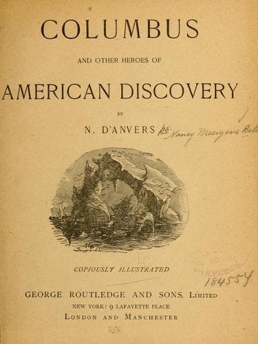
Columbus and Other Heroes of American DiscoveryD'Anvers, N.
History
Columbus and Other Heroes of American Discovery
D'Anvers, N.
America -- Discovery and exploration; North America -- Discovery and exploration
One can not but be struck with the lack of enterprise and enthusiasm
which marked the relations of Great Britain to her American
possessions during this period. The spread of United States
settlements had necessitated the establishment of an international
boundary line, and in 1818, the 49th degree of north latitude had
been fixed by treaty as the limit between the Western States and
British America, the St. Lawrence and its lakes remaining, as before,
the boundary between Canada and the Eastern States of the Union.
But another half-century elapsed before any attempt was made by the
British Government to survey and mark this new boundary line. The
outlying colonies struggled on, some of them almost entirely cut off
from intercourse with the outer world, and many a noble life was lived
and lost in the vain struggle for existence. Meantime, as we have seen,
the United States were being intersected by railways, and their ocean
boundaries were connected by iron bands. California――youngest state
of the Union, and a few short years before but an unknown desert――had
become the golden link between the East and the West. Yet the owners
of a territory as vast, and perhaps as full of great possibilities as
the mighty republic itself, still remained in ignorance of the true
character of their possessions. Maps there were, but maps made up of
sketches filled in on hearsay Indian evidence, and calculated only to
mislead the unhappy explorer who should attempt to guide his course
by their vague delineations. A change soon came, however, and one as
rapid as the course of events which led up to it had been slow. This
change may be said to have been inaugurated in 1857, when Captain
Palliser started on an expedition, which occupied three years, and
resulted in the thorough and just assessment of the economic value of
the districts, extending from the United States boundary in N. lat.
49° to the chief rivers flowing into the Arctic Ocean.
Illustration: SASKATCHEWAN STEAMER.
Public-domain text, read in full here on John Shaqi.
Reviews
Reviews
No reviews yet
Be the first to share your thoughts on this work.
Elsewhere in the archive
Join the Discussion
Join the discussion
Sign in to leave a comment or review.
Sign InorCreate an account