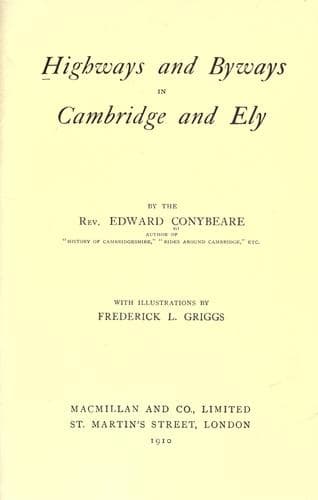
Highways and Byways in Cambridge and ElyConybeare, John William Edward
History
Highways and Byways in Cambridge and Ely
Conybeare, John William Edward
Cambridgeshire (England) -- Description and travel; Isle of Ely (England) -- Description and travel
He must have been a true Solitary, for his shrine was only accessible
by a rope ladder twenty-five feet long let down through the narrow
opening at the top. It remained, however, a place of devotion till the
Reformation, when it not only became disused, but was so effectually
filled up that its very existence was forgotten for some two hundred
and fifty years. Then curiosity was aroused by a subsidence at the top
(under the very centre of the town), and the hole once more cleared
out, a more convenient approach being cut from adjacent premises, by
which it may still be visited.
The Priory of Royston was, of course, suppressed under Henry the
Eighth. But its church was suffered to be bought by the inhabitants of
the town, who besought the king to spare it to them on the ground
that, though Royston stood in five several parishes, there was "never
a parish church within two miles." This was literally true, the
parochial boundaries having been already long established before the
town grew up. The five parishes were those of Melbourn, Barley,
Bassingbourn, Reed, and Therfield. They had therefore attended the
Priory church, and been ministered to by its monks. The place was, in
answer to this petition, constituted a parish, and the church
rededicated to St. John the Baptist instead of to Henry's _bete
noire_, Thomas a Becket. But the old connection of Royston with this
saint survives to this day in the annual Fair held in July (near the
date of his "Translation"), which is still popularly called "Becket
Fair."
At Royston the Icknield Way used to be the boundary of
Cambridgeshire, as at Newmarket, so that it was convenient for the
resident magistrates to be in the Commission for both counties. Thus,
by merely crossing the road, they could exercise their authority in
whichever might be desired. Beyond the town, the way continues to run
south-westwards, along the foot of the East Anglian heights, which
here form the watershed between the basin of the Ouse and that of the
Thames. Their northern escarpment is, at this point, still in its
primaeval condition, a steep slope of virgin turf, known as Royston
Heath, the common property of the township. The Heath has a
far-reaching view and delicious air, and the Royston folk do well in
jealously guarding against any usurpation of their rights in it. That
golf links should not exist on such a magnificent stretch of turf
would almost be unthinkable, but even over this development many shake
their heads as an encroachment.
Public-domain text, read in full here on John Shaqi.
Reviews
Reviews
No reviews yet
Be the first to share your thoughts on this work.
Elsewhere in the archive
Join the Discussion
Join the discussion
Sign in to leave a comment or review.
Sign InorCreate an account