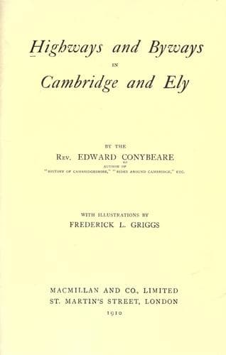
Highways and Byways in Cambridge and ElyConybeare, John William Edward
History
Highways and Byways in Cambridge and Ely
Conybeare, John William Edward
Cambridgeshire (England) -- Description and travel; Isle of Ely (England) -- Description and travel
From the bridge over the Ouse by the Earith sluice we see the
sea-board (for that and nothing less is the word which its appearance
irresistibly suggests) of the Island of Ely, rising before us, with a
couple of miles of level fen between. We may reach it, if we will, by
the main road, which leads eastward to Haddenham, the southernmost of
the island villages. Haddenham stands on a projecting peninsula of
high ground, the highest in the island, rising to nearly 150 feet,
almost cut off from the rest by two inlets of fen (Grunty Fen on the
north-east and North Fen on the north-west), and nearer than any other
part to the mainland on the south. This quasi-insulation has left a
curious mark on the Ecclesiastical map of Cambridgeshire. Throughout
the whole Isle of Ely--the old Fenland Archipelago--the Bishop acts as
his own Archdeacon. An Archdeacon of Ely there is; but his
jurisdiction is confined to Cambridgeshire proper, Cambridgeshire
south of the Isle. It extends, however, over Haddenham and the
neighbouring village of Wilburton, the two parishes in this peninsula.
Haddenham has a fine Decorated church; the tower showing the first
development of that style from Early English (1275), and the transepts
its transition into Perpendicular (1375). The fifteenth century font
is richly panelled, with roses and shields supported by lions and
angels. This church was founded by Owen, the "Over-alderman" who
governed the Island of Ely under St. Etheldreda, the Foundress of the
Cathedral, and Queen of the Isle as the childless widow of its last
native ruler, King Tonbert.[190] Owen's name is interesting as
testifying to the Celtic survival in the fenland, already spoken
of.[191] The broken cross bearing his name, now in the south aisle of
Ely Cathedral, was originally set up at Haddenham; and, after being
for ages an object of veneration, was, at the Reformation, mutilated
and degraded into a horsing-block. At length the revived decency of
the eighteenth century removed it to Ely.
[Footnote 190: See Chap. XIV.]
[Footnote 191: See Chap. VIII.]
The village of Haddenham lies chiefly along the road running southward
to the hamlet of Aldreth, on the very verge of the Island. The nearest
point of the low-lying mainland is only half a mile away; the "Old
River" of the Ouse (now, since the construction of the Bedford Rivers,
become quite a scanty watercourse) flowing between. This was the point
selected by William the Conqueror for the famous Causeway, whereby,
after being once and again baffled by the valour of Hereward, he
ultimately succeeded in forcing his way into the Island.[192] For
centuries afterwards this continued to be the chief entrance from the
Cambridge district, till superseded by the present road via Stretham. A
small barrow at the southern end of this causeway, which is now a mere
field-track, still bears the name of Belsar's Hill, after the knight
who, in this campaign, acted as the Conqueror's Commander-in-Chief.
Public-domain text, read in full here on John Shaqi.
Reviews
Reviews
No reviews yet
Be the first to share your thoughts on this work.
Elsewhere in the archive
Join the Discussion
Join the discussion
Sign in to leave a comment or review.
Sign InorCreate an account