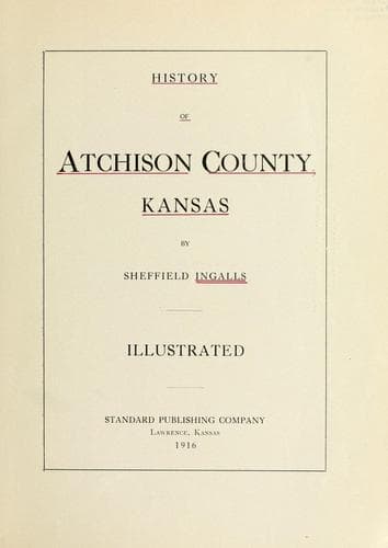
History of Atchison County, KansasIngalls, Sheffield
History
History of Atchison County, Kansas
Ingalls, Sheffield
Atchison County (Kan.) -- Biography; Atchison County (Kan.) -- History
According to Captain Elberhant, of Golden, Colo., the Kickapoo Indians
once had a village on the Grasshopper river in Atchison county, called
Kapioma, after the chief of the band, and it is from this source that
Kapioma township took its name. Captain Berthoud says that Father
Duerinck, a native of Belgium, who was probably the first Jesuit priest
in Atchison county, gave the pronunciation of the name of his Atchison
county station as Kah-pi-oma, accent on the syllable “Kah.”
In an affidavit of H. H. Skiles, volume 69, page 63, in the records of
the office of the register of deeds of Atchison county, Kansas, the
following appears:
“This affiant further states that there was in 1857 and 1858 a company
formed, called and known as the Kapioma City Company, and the
individuals composing that company were B. Gray, S. C. Russell, W. W.
Weston, H. H. Skiles and W. Y. Roberts, who united themselves together
for the purpose of laying out, locating and establishing a town called
Kapioma, on what was then known as Grasshopper creek, just north of its
confluence with Straight creek, in the western borders of Atchison
county, Kansas. The entire purpose and scheme in laying out and
establishing a town fell through and was wholly and totally abandoned by
all and every person connected with it without prejudice to any one, and
the title to the land intended by the company to become town property
reverted to the original owner. The law required to establish a town was
never complied with.”
MASHENAH.
Mashenah, apparently, was to be a rival town of Kennekuk. The cold and
quiet records now on file in the court house would convey the idea that
Royal Baldwin must have fallen out with the original promoters of
Kennekuk and decided to establish a town of his own, so, accordingly, he
filed a plat of this town September 21, 1857, showing it to be located
in the northeast quarter and the northwest quarter of section 2,
township 5, range 17. One block was set aside for a college and another
for a park. Its streets were numbered 1 to 21, and the cross streets
were named as follows: Oak, Pine, Plum, Vine, Elm, Linn and Cedar.
ST. NICHOLAS.
The only record that can be found of this town is that Thomas Poteet
filed a plat thereof April 20. 1858, showing it to be located in the
southwest corner of section 6, township 7, range 20.
CONCORD.
This is another town about which there is little information available.
The plat was filed June 20, 1857, by James R. Whitehead and shows it to
have been located in the west half of section 1, township 5, range 17.
The streets were numbered from 1 to 18, and the cross streets were named
Buchanan, Emily, Mary, Carolina, Jefferson, St. Joseph, Ellwood, Able,
Alexander, and there were two public squares, called North and South.
PARNELL.
Public-domain text, read in full here on John Shaqi.
Reviews
Reviews
No reviews yet
Be the first to share your thoughts on this work.
Elsewhere in the archive
Join the Discussion
Join the discussion
Sign in to leave a comment or review.
Sign InorCreate an account