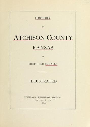
History of Atchison County, KansasIngalls, Sheffield
History
History of Atchison County, Kansas
Ingalls, Sheffield
Atchison County (Kan.) -- Biography; Atchison County (Kan.) -- History
From Atchison to Miles Total Remarks
Mormon Grove 3½ Junction of the Great Military Road.
Monrovia 8½ 12 Provisions, entertainment and grass.
Mouth of Bill’s 13 25 On the Grasshopper, wood and grass.
Creek
Ter. Road from 15 40 Wood, water and grass.
Nebraska
Soldier Creek 10 50 Wood and grass.
Lost Creek 15 65 Wood and grass.
Louisville 10 75 Wood and grass.
Manhattan City 12 87 Water, wood and grass.
Fort Riley 15 102 Water, wood and grass.
Salina 52 154 Wood, water and grass.
Pawnee Trail- 130 284 Grass and buffalo chips.
Smoky Hill
Pawnee Fork 35 319 Grass and buffalo chips.
Arkansas Crossing 35 354 Wood, water and grass.
Bent’s Fort 150 504 Wood, water and grass.
Bent’s Old Fort 40 544 Water and grass.
Huerfano 40 584 Water and grass.
Fontaine qui 15 599 Wood, water and grass.
Bouille
Crossing of same 18 617 Wood, water and grass.
Jim’s Camp 15 632 Water and grass.
Brush Corral 12 644 Wood, water and grass.
Head of Cherry 26 670 Wood, water and grass.
Creek
Crossing of Same 35 705 From this point to the mines there is
heavy timber, and grass and water in
abundance.
Mines 6 711
From _Freedom’s Champion_, February 12, 1859.
ROUTE FROM ATCHISON
via
The Great Military Road to Salt Lake, and Col. Fremont’s Route in 1841.
Public-domain text, read in full here on John Shaqi.
Reviews
Reviews
No reviews yet
Be the first to share your thoughts on this work.
Elsewhere in the archive
Join the Discussion
Join the discussion
Sign in to leave a comment or review.
Sign InorCreate an account