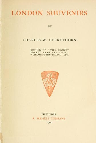
London (England) -- Description and travel; London (England) -- History -- 1800-1950
Hol-bourne, which rose somewhere near St. Giles’. The existence of this
brook is denied by some topographers, but it is distinctly shown in a
very old map of the manor of Blemundsbury (Bloomsbury), reproduced in
Mr. W. Blott’s ’Chronicle of Blemundsbury,’ 1892. And we see no reason
for doubting the correctness of the map, and therefore adopt the
Holbourne as a fact. The Fleet then passed under Chick Lane, afterwards
called West Street, which crossed the river at right angles, and in
quite recent times was the refuge of thieves, burglars, and other
criminals; and means of concealment and of escape by way of the river
were revealed when, in the forties and fifties, West Street was pulled
down for the improvements then in progress in that locality. After
passing under Holborn Bridge, the river was known as the Fleet, not
because of the fleetness of its course, as some writers would have it,
for it never had much of that quality, but because of the flood or high
tide it participated in with the rise of the Thames.
Having thus traced the river from its source to its mouth, we may
describe the bridges which crossed it.
In the northern part of its course the river, where it passed through
what in the early days was still country, was no doubt here and there
crossed by bridges, but they were probably wooden bridges of light
construction, as the traffic was but limited. The first solid bridge we
have any record of is the one which existed at Battle Bridge, which
derived its name from the battle between Suetonius Paulinus and
Boadicea, the Queen of the Iceni, which is said to have been fought on
the spot, and from the brick bridge which in early times there crossed
the Fleet. Originally it was built of wood, but at an uncertain date
later on it was replaced by one of brick, consisting of a number of
arches. Battle Bridge, from the lowness of its situation, was exposed to
frequent inundations. In the _Gentleman’s Magazine_, May, 1818, we
read: ’From the heavy rain which commenced yesterday ... Battle Bridge,
St. Pancras, and part of Somers Town was inundated. The water was
several feet deep in many of the houses, and covered an extent of
upwards of a mile. The carcases of several sheep and goats were found
... and property was damaged to a very considerable amount.’ Various
Acts were passed at the beginning of this century for the improvement of
the locality: the river was completely arched over, and in 1830 the spot
assumed the name of King’s Cross from the ridiculous structure erected
in the centre of the cross roads; it was of octagon shape, surmounted by
a statue of George IV. The basement was for some time occupied as a
police-station, then as a public-house, and the whole was taken down in
1845, and a tall lamp erected on the spot.
Public-domain text, read in full here on John Shaqi.
Reviews
Reviews
No reviews yet
Be the first to share your thoughts on this work.
Elsewhere in the archive
Join the Discussion
Join the discussion
Sign in to leave a comment or review.
Sign InorCreate an account