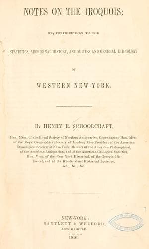
Notes on the Iroquois: or, Contributions to the Statistics, Aboriginal History, Antiquities and General Ethnology of Western New-YorkSchoolcraft, Henry Rowe
History
Notes on the Iroquois: or, Contributions to the Statistics, Aboriginal History, Antiquities and General Ethnology of Western New-York
Schoolcraft, Henry Rowe
Indians of North America -- New York (State); Iroquois Indians
2. CAMILLUS, Onondaga.
Two forts.
One 3 acres on a high hill.
East, a gate, west, spring 10 rods off.
Shape elliptical.
Ditch deep.
Wall 10 feet high.
Second fort, half a mile distant.
Lower ground.
Constructed like the other.
About half as large.
Shells, testaceous animals—plenty.
Fragments, pottery.
Pieces of brick.
“Other signs” of ancient settlement, found by first settlers.
[Clinton.]
3. EAST BANK OF SENECA RIVER.
Six miles south of Cross and Salt lakes.
Forty miles south of Oswego.
Discovered 1791, New-York Magazine, 1792 with picture writing,
on a stone 5 feet by 3-1/2, and 6 inches thick, evidently
sepulchral.
Two hundred and twenty yards length.
Fifty-five yards breadth.
Bank and ditch entire.
Two apertures middle of parallelogram, one towards the _water_,
other _land_.
Second work, half a mile south.
Half-moon. Outwork.
Singularity,
extremities of the crescent from larger fort.
Bank and ditch of both, large old trees.
Pottery well burned, red, indented.
East, these works traced 18 miles east of Manlius square.
4. OXFORD, Chenango county.
East banks Chenango river.
Great antiquity.
North to Sandy creek, 14 miles from Sacketts Harbor, near one
which covers 50 acres.
Fragments of pottery.
West in great numbers.
5. ONONDAGA TOWN.
6. SCIPIO.
7. AUBURN, two forts.
8. CANANDAIGUA, three forts.
9. Between Seneca and Cayuga lakes—several.
10. RIDGEWAY, Genesee:
Several forts and places of burial.
11. ALLEN’S RESIDENCE, 1788.
Two miles west.
A flat.
Deserted Indian village.
Junction of Allen’s creek with Genesee.
Eight miles north of Kanawageas.
Five miles north of Magic Spring.
Six acres.
Six gates.
Ditch eight feet wide.
Six feet deep.
Circular on three sides.
Fourth side, a high bank.
A covered way, near two hundred years old.
Second, half a mile south, on a greater eminence.
Less dimensions.
But deeper ditch.
More lofty and commanding.
12. JOAIKA:
Twenty-six miles west of Kanawageas.
Six miles further.
Tegatainedaghgwe, or double-fortified town.
A fort at each end.
First about four acres.
Two miles distant another.
Eight acres.
Ditch about first five or six feet deep.
Small stream one side.
Traces of six gates.
Dug way to the water.
Large oaks two hundred years old or more.
Remains of a funeral pile—bones.
Mound six feet by twenty—thirty diameter—(sixty to ninety.)
13. PATH TO BUFFALO CREEK:
Heights—fortified.
14. WEST OF TONAWANDA:
Still another.
15. ON BRANCH OF THE DELAWARE:
A fort one thousand years old, by trees.
Public-domain text, read in full here on John Shaqi.
Reviews
Reviews
No reviews yet
Be the first to share your thoughts on this work.
Elsewhere in the archive
Join the Discussion
Join the discussion
Sign in to leave a comment or review.
Sign InorCreate an account