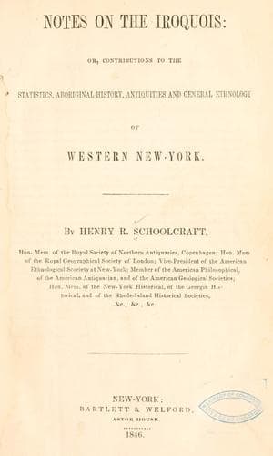
Notes on the Iroquois: or, Contributions to the Statistics, Aboriginal History, Antiquities and General Ethnology of Western New-YorkSchoolcraft, Henry Rowe
History
Notes on the Iroquois: or, Contributions to the Statistics, Aboriginal History, Antiquities and General Ethnology of Western New-York
Schoolcraft, Henry Rowe
Indians of North America -- New York (State); Iroquois Indians
This enclosure is situate on the highest point of land in the vicinity
of Auburn, and is in the form of an ellipse and measures in diameter,
from east to west, (from the outside of the base of the embankment)
four hundred and sixteen feet, and from north to south, three hundred
and ten feet; the circumference, twelve hundred feet; present height of
the highest part of the embankment on the west side from the bottom of
the ditch, four feet; the thickness at the base, fourteen feet; from
the centre of the enclosure the ground has a gentle slope to the north,
east and west, and is nearly level towards the south. The openings
on the south, one of sixty and the other of seventy-eight feet, are
directly opposite or against deep ravines separated by a narrow steep
ridge, access through which would be difficult, being on an angle
of nearly forty-five degrees. The opening on the north measures one
hundred and sixty-six feet, opposite to which the ground continues to
slope to the north for the distance of seventy feet, from which point
the descent is very abrupt. The opening on the east measures sixty-six
feet, opposite to which the ground continues on a gentle descent to the
east for several hundred feet. The opening on the southwest measures
fifty feet, and is opposite to a ridge gently descending to the
southwest. There are no less than ten deep ravines and as many steep
ridges surrounding and leading to this ancient fortification.
McAuley, in his history of the State of New-York, Vol. 2d, pages
111 and 112, gives a minute and interesting description of this
fortification, which, however, contains some inaccuracies; and also
of another fortification situate in the northeast part of Auburn. The
large chesnut stump described by him as standing in the moat on the
west side of the enclosure, is still to be seen; there are still to be
seen the remains of two large oak stumps, which seem to have escaped
his notice, situate on the southeast side of the enclosure, one of
them on the top of the embankment, and the other in the ditch some
twelve feet distant. There are scarcely any traces remaining of the
fortification described by McAuley as being in the north east part of
Auburn, from the fact that the ground upon which it stood has been
under cultivation for many years.
JAMES H. BOSTWICK, _Surveyor_.
_October 16_, 1845.
(F.)
Letter from Frederick Follet to Henry R. Schoolcraft.
_Batavia, Oct. 25_, 1845.
DEAR SIR—My private and public duties together prevented my
making a visit to “Fort Hill,” until the 22d inst. and I proceed to
give you my ideas of that formation.
Public-domain text, read in full here on John Shaqi.
Reviews
Reviews
No reviews yet
Be the first to share your thoughts on this work.
Elsewhere in the archive
Join the Discussion
Join the discussion
Sign in to leave a comment or review.
Sign InorCreate an account