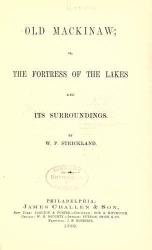
Old Mackinaw; Or, The Fortress of the Lakes and its SurroundingsStrickland, W. P. (William Peter)
History
Old Mackinaw; Or, The Fortress of the Lakes and its Surroundings
Strickland, W. P. (William Peter)
Great Lakes (North America); Mackinac Island (Mich. : Island) -- History; Michigan -- History
Lake Huron, which, with Lake Erie and St. Clair, washes the eastern
boundary of the southern peninsula of Michigan, is two hundred and
fifty miles long and its average width is about one hundred miles. Its
depth is about eight hundred feet. The southeastern shore of Michigan
presents a level surface covered with a dense forest, at points
meeting the edge of the bank. The trees of this heavily-timbered land,
with their massive shafts standing close together, "cast a gloomy
grandeur over the scene, and when stripped of their foliage appear
like the black colonnade of a sylvan temple." In advancing into the
interior, a picturesque and rolling country opens to view, covered
with oak-openings or groves of white oak thinly scattered over the
ground, having the appearance of stately parks. The appearance of the
surface of the country is as if it was covered with mounds, arranged
without order, sometimes rising from thirty to two hundred feet in
height, producing a delightful alternation of hill and dale, which is
sometimes varied by a rich prairie or burr-oak grove.
The principal rivers of the State are the Grand, St. Joseph's,
Kalamazoo, the Raisin, the Clinton, the Huron, and the Rouge. The
Grand is two hundred and seventy miles in length, and has a free
navigation for steamboats which ply regularly between Lake Michigan
and Grand Rapids, a distance of forty miles. The Saginaw empties into
Lake Huron and is navigable for sixty miles. These, with the others we
have named, interlock their branches running through different parts
of southern Michigan, and while they beautify the landscape they
afford water-power and fertilize the soil.
The river Cheboy-e-gun is the largest stream in the northern portion
of the lower peninsula and empties into the Straits of Mackinaw
opposite Bois Blanc Island. At its mouth is a village containing two
steam saw mills and one water saw mill. A light-house stands a mile or
two east from this point. Brook-trout, bass, pike, pickerel, and
perch, are caught at the entrance of the river. In the fall and spring
numerous water-fowl resort to the upper forks of the river and to the
small lakes forming its sources. These lakes also abound with a great
variety of fish, which can be taken by spearing.
Public-domain text, read in full here on John Shaqi.
Reviews
Reviews
No reviews yet
Be the first to share your thoughts on this work.
Elsewhere in the archive
Join the Discussion
Join the discussion
Sign in to leave a comment or review.
Sign InorCreate an account