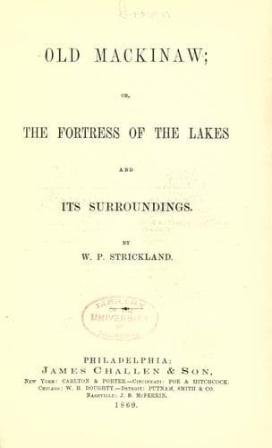
Old Mackinaw; Or, The Fortress of the Lakes and its SurroundingsStrickland, W. P. (William Peter)
History
Old Mackinaw; Or, The Fortress of the Lakes and its Surroundings
Strickland, W. P. (William Peter)
Great Lakes (North America); Mackinac Island (Mich. : Island) -- History; Michigan -- History
In the northern part of Lake Michigan are located Beaver Islands.
There are five or six of this group bearing different names. Big
Beaver is the most considerable, and contains perhaps forty square
miles. These islands all lie in the vicinity of each other, and within
a few miles northwest of Grand and Little Traverse Bays in Lake
Michigan. The Big Beaver was, up to July, 1856, in possession of the
Mormons, who claimed it as a gift from the Lord.
Another interesting locality is Drummond's Island, between the Detour
and the False Detour. It was taken possession of by the British troops
when they surrendered Fort Mackinaw in 1814. On this island they built
a fort and formed quite a settlement. Upon an examination of the
boundary line between the United States and Great Britain, it was
ascertained that this island was within the jurisdiction of the
former, and it was accordingly evacuated by the British in 1828. The
British subjects living on the island followed the troops, and the
place was soon deserted and became a desolation.
St. Helena Island is a small island near the Straits of Mackinaw, not
far from the shore of the northern peninsula, containing a few acres
over a section of land. It is a great fishing station, and enjoys a
good harbor protected from westerly winds. Its owner, who has exiled
himself _a la Napoleon_, spends his time in fishing, and other
pursuits adapted to his mind.
In addition to the numerous islands constituting the surroundings of
Mackinaw there are a number of interesting localities denominated
"Points", that we must not omit to mention. The first, because the
most important, and one which is connected with many historic
associations which we shall direct attention to, is the "Iroquois
Woman's Point," the Indian name for Point St. Ignatius on the opposite
side of the straits from Mackinaw, distant between three and four
miles, about the same as from the Battery at New York to Staten
Island. The original inhabitants with their descendants have long
since passed away. Its present occupants are principally Canadians. It
has a Catholic chapel.
Point La Barbe, opposite to Green Island Shoals and Mackinaw, is a
projection of the upper peninsula into the straits. It is four miles
distant from Gross Cape, and derives its name from a custom which
prevailed among the Indian traders in olden time on their annual
return to Mackinaw of stopping here and putting on their best apparel
before making their appearance among the people of that place.
About half way between Mackinaw and Cheboy-e-gun, a projection from
the lower peninsula into the straits, is Point aux Sable. Point St.
Vital is a cape projecting into Lake Huron from the southeastern
extremity of the upper peninsula. There is a reef of rocks off this
point where the steamer Queen City was wrecked. On a clear day this
point may be seen from Fort Holmes, and it presents an enchanting
view. The St. Martin's Islands are also in full view from this point.
Public-domain text, read in full here on John Shaqi.
Reviews
Reviews
No reviews yet
Be the first to share your thoughts on this work.
Elsewhere in the archive
Join the Discussion
Join the discussion
Sign in to leave a comment or review.
Sign InorCreate an account