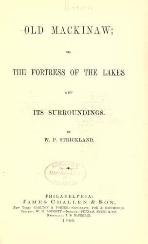
Old Mackinaw; Or, The Fortress of the Lakes and its SurroundingsStrickland, W. P. (William Peter)
History
Old Mackinaw; Or, The Fortress of the Lakes and its Surroundings
Strickland, W. P. (William Peter)
Great Lakes (North America); Mackinac Island (Mich. : Island) -- History; Michigan -- History
From a report made, by order of Congress, by Israel D. Andrews, in
1853, in relation to the trade of the great lakes and rivers, we
extract the following "Michigan is the second of the great lakes in
size, being inferior only to Lake Superior, and in regard to situation
and the quality of the surrounding soil and the climate is, in many
respects, preferable to them all. Its southern extremity, rising south
in fertile regions, nearly two degrees to the south of Albany, and the
whole of its great southern peninsula being imbosomed in fresh waters,
its climate is mild and equable, as its soil is rich and productive.
The lake is three hundred miles long by sixty in breadth, and contains
sixteen thousand nine hundred and eighty-one square miles, having a
mean depth of nine hundred feet. On the western shore it has the great
indentation of Green Bay; itself equal to the largest lakes in
England, being one hundred miles long and thirty broad. It is well
sheltered at its mouth by the Traverse Islands, and has for its
affluent the outlet of Winnebago and the Fox River.
"Grand Traverse Bay is a considerable inlet of Lake Michigan, which
sets up into the lower peninsula, one hundred miles south from the
Island of Mackinac. It is a good farming and lumbering country. There
are two mission stations and six or seven steam and water mills
located at this point. It is now an organized county called Grand
Traverse. The county seat is at Grand Traverse City, West Bay, where
they have a court-house and jail.
"L'Arbre Croche Village is an old Indian town, situated about
twenty-five miles southwest from Mackinaw, on the lower peninsula. It
is composed mostly of Indians. It has a Catholic Church and a Home
Mission Station, with a teacher and other assistants to instruct the
Indians in the English language. It has extensive clearings for miles,
along the banks of the lake shore, and extending from one to six miles
back into the interior, indicating that once a large population must
have inhabited this section of the country.
"The principal tributaries of Lake Michigan are the Manistee, Great
Kalamazoo, and St. Joseph's rivers, from the southern peninsula of
Michigan, the Des-Plaines, the O Plaines and Chee rivers, from
Indiana, Illinois, and from the northern peninsula, the Menominee,
Escambia, Noquet, White Fish and Manistee rivers. The lake is bounded
to the eastward by the rich and fertile land of the southern
peninsula, sending out vast quantities of all the cereal grains, equal
if not superior in quality to any raised in the United States. It is
bounded on the south and southwest by Indiana and Illinois, which
supply corn and beef of the finest quality, in superabundance, for
exportation. On the west it is bounded by the productive grain and
grazing lands and lumber district of Wisconsin, and on the northwest
and north by the invaluable and not yet half-explored mineral district
of northern Michigan.
Public-domain text, read in full here on John Shaqi.
Reviews
Reviews
No reviews yet
Be the first to share your thoughts on this work.
Elsewhere in the archive
Join the Discussion
Join the discussion
Sign in to leave a comment or review.
Sign InorCreate an account