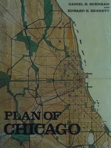
City planning -- Illinois -- Chicago -- History -- 20th century
In the disposition of interior parks the main consideration should be,
first, to distribute the areas about the city as evenly as possible,
so as to make large parks readily accessible to all citizens; and
secondly, to select for improvement those localities which have the
greatest charm and value as park lands. Happily nature has furnished
the opportunity to combine both considerations. The wooded bluffs and
ravines at the northern boundary of Cook County in Glencoe mark a
natural park entrance from Lake Michigan. The virgin forest known as
the Peterson woods, south of Peterson Avenue, the Gibbs woods, north of
Gibbs Street, a beautiful spot on the Chicago River south of Central
Avenue, are especially attractive features of this stretch. In spring
the bloom of the thorn, the crab-apple, and the wild plum are features
of the landscape; the ground is everywhere carpeted with flowers; there
are forests of elm, oak, ash, willow, and cottonwood; and the Skokee
marsh in beauty vies with the Lake itself. At a distance of a mile
inland the valley of the North Branch of the Chicago River is reached.
In this valley the views are particularly beautiful, especially where
the stretches are unbroken by constructions of any kind. To the north
the valley stretches far beyond the county line; to the south it is
framed on both sides with forest lands. In the region of Central Avenue
these forest lines spread, taking in the grounds of the Glenview Golf
Club, closing again between Kenilworth and Bryn Mawr avenues, where
the foliage closely follows the banks of the River. The area which
should be taken for this particular northern park includes upwards of
eight thousand acres, and at the present time the land can be had at
comparatively small expense.
[Illustration: LVIII. VERSAILLES, FRANCE. VIEW FROM THE TERRACE,
LOOKING DOWN THE MAIN AXIS.]
The opportunity for a park area entirely surrounding the city is to be
found in the extension of the Lake entrance at Glencoe westward until
it reaches the valley of the Des Plaines; thence the park stretch would
extend south along that valley to Riverside, and, taking in the valleys
of Salt and Flag creeks, still southerly to the Drainage Canal. Turning
to the east, the line would extend along the Calumet Feeder, Stony
Creek, and Little Calumet River to and including Lake Calumet, and
thence to the Lake front.
[Illustration: LIX. PARIS. VIEW OF THE SUNKEN GARDEN IN THE LUXEMBOURG
GARDENS.]
[Illustration: LX. ST. GERMAIN, FRANCE. VIEW OF AN AVENUE IN THE FOREST
AND ROUND-POINT.
This avenue crosses above a railroad.]
Public-domain text, read in full here on John Shaqi.
Reviews
Reviews
No reviews yet
Be the first to share your thoughts on this work.
Elsewhere in the archive
Join the Discussion
Join the discussion
Sign in to leave a comment or review.
Sign InorCreate an account