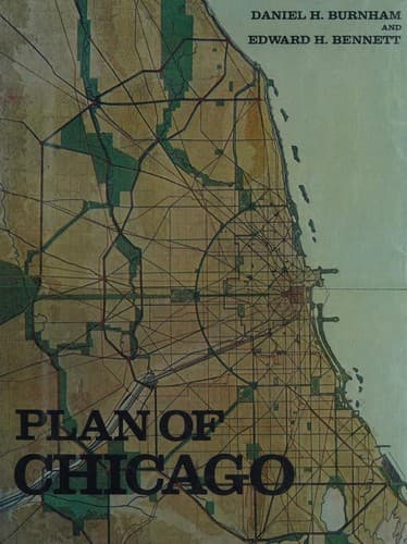
City planning -- Illinois -- Chicago -- History -- 20th century
The Des Plaines River from the county line to Riverside flows mainly
through thickly wooded country which the parkway plans include;
the forests for the most part lie on the east side of the River,
occasionally crossing to the west side. There are places of great
beauty on the River banks, including Thatcher’s Park at River Forest,
which has been fenced in, and where an admission fee is charged.
South of River Forest the parkway divides, and, passing around the
cemeteries at Harlem, joins the River at Riverside. From Harlem to
the southern extremity of Riverside the foliage and the scenery
generally are exceptionally fine. The boulevard from Summit, running
in a southwesterly direction to Spring Forest, commands fine views,
particularly over the rising wooded land of Du Page County. Mount
Forest is covered with trees, and presents many delightful outlooks
from its height; these are particularly fine in the southwestern
extremity, where the valley of the Des Plaines to the southwest and
northwest, and the Sag valley to the east, all are visible. Evergreen
Park is noted for its evergreens, and Sherman farm is thickly wooded.
As in the Chicago River region, the thorn, the crab-apple, and wild
plum abound; and the great forests consist of elm, cottonwood, and
willow, the elm seeming to predominate. The forests in the Palos region
stretch south as far as the eye can reach.
[Illustration: LXI. CHICAGO. PLAN OF A PARK PROPOSED ON THE MAIN
EAST-AND-WEST AXIS OF THE CITY AT CONGRESS STREET AND FIFTY-SECOND
AVENUE.
COPYRIGHT, 1909, BY COMMERCIAL CLUB OF CHICAGO ]
[Illustration: LXII. CHICAGO. PLAN OF A PARK PROPOSED AT WESTERN
BOULEVARD AND GARFIELD BOULEVARD, BEING AN EXTENSION OF GAGE PARK.
COPYRIGHT, 1909, BY COMMERCIAL CLUB OF CHICAGO ]
The Calumet is an ample stream, and on every hand the silhouettes of
steel industries give strong evidence of the coming importance of
this channel as a harbor. Every effort, therefore, should be made to
concentrate the vehicle traffic crossing this river at well-chosen
points where great bridges might be constructed, in order to create as
little friction as possible between the vessel and the land traffic. On
the banks of the Calumet, in the neighborhood of One Hundred and Third
Street, are large swamps capable of being developed into fine parks;
the country is gently undulating, with plenty of woodland, and the
view across Calumet Lake is fine. It is proposed to create a driveway
around Lake Calumet, and to reclaim the low lands south of the lake
without essentially changing their present topography; also to plant
a belt of woods surrounding this lake park set in one of the greatest
manufacturing districts in the world; and to construct roadways to form
connections with the different park reservations and at the same time
to become highways to the city.
[Illustration: LXIII. CHICAGO. PLAN OF A PARK PROPOSED AT THE NORTH
BRANCH OF THE CHICAGO RIVER AND GRACELAND AVENUE.
Public-domain text, read in full here on John Shaqi.
Reviews
Reviews
No reviews yet
Be the first to share your thoughts on this work.
Elsewhere in the archive
Join the Discussion
Join the discussion
Sign in to leave a comment or review.
Sign InorCreate an account