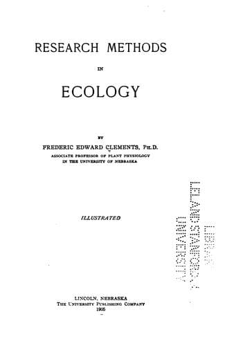
Research methods in ecologyClements, Frederic E. (Frederic Edward)
Science
Research methods in ecology
Clements, Frederic E. (Frederic Edward)
Plant ecology; Plant ecology -- Methodology
=217. The transect= is essentially a cross section through the
vegetation of a station, a formation, or a series of formations. It is
designed primarily to show the order of arrangement of species in zones
and societies, but it also serves as a record of the heterogeneity of
any area. In the form of the layer transect, it furnishes a graphic
method of representing the spatial relations of the species in layered
formations, e. g., forests, ponds, and lakes. It is merely a logical
extension of the idea underlying the quadrat, and the transect is,
indeed, little more than an elongated quadrat. An important difference,
however, lies in the fact that the former normally traverses areas more
or less unlike, while the latter is always located in a homogeneous one.
Furthermore, the transect is plotted with especial reference to the
topography. With respect to dimension, transects are classified as line,
layer, and belt transects, and the latter may also be permanent or
denuded.
_The Line Transect_
=218. Description and method.= A simple transect is sometimes made by
establishing the points between which it is to be run, and then
recording the plants pace by pace along this line. This is satisfactory
where the striking changes in structure are desired. A more accurate
method is ordinarily used, since it gives detailed results, and at the
same time brings out the more general features. For this, use is made of
a tape of proper length which is divided into decimeters. Tapes of 10,
50, and 100 meters are used, and if they are furnished with eyelets,
transects of intermediate lengths may be run with them. When longer
transects are desired, as in the case of forest formations, tapes of 500
or 1,000 meters should be used with eyelets a meter apart. The transect
is located in the area to be studied by running the tape from one
landmark to another, fastening it here and there by means of quadrat
stakes. Previous to this, the shortest distance between landmarks is
ascertained when the transect runs through a depression or upon a level
surface. In the case of an elevation, the height is ascertained by a
barometer, the length and angle of the two slopes obtained, and the
length of the base line determined from these data. The field record of
the arrangement of the plants is made entirely without reference to the
surface line. The vertical lines on the centimeter sheet are taken to
correspond with the tape, and the individual which touches the latter on
either side is recorded to the right or left respectively and within the
proper square. The species are indicated as for quadrats. A single row
on either side may be taken alone, but the double series serves as a
desirable check. After the record is made, the topography of the
transect is drawn carefully to scale. This drawing is made upon the
scale of 100 : 1 for transects of 10 meters or less, and of 1000 : 1 for
those that are longer. The combination of this drawing with the line
Public-domain text, read in full here on John Shaqi.
Reviews
Reviews
No reviews yet
Be the first to share your thoughts on this work.
Elsewhere in the archive
Join the Discussion
Join the discussion
Sign in to leave a comment or review.
Sign InorCreate an account