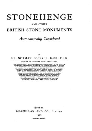
Stonehenge and Other British Stone Monuments Astronomically ConsideredLockyer, Norman, Sir
History
Stonehenge and Other British Stone Monuments Astronomically Considered
Lockyer, Norman, Sir
Druids and Druidism; Great Britain -- Antiquities; Stonehenge (England); Sun worship; Temples
In this survey they not only made use of the 25-inch map, but of the old
plan given by W. C. Borlase dating from about 1870. Although the
outstanding stones shown by Borlase remain, some of the barrows
indicated by him have disappeared.
In January, 1906, my wife and I paid other visits to the monuments, and
Mr. Horton Bolitho was again good enough to accompany us. Thanks to him
permission had been obtained to break an opening in the high
wall-boundary which prevented any view along the “Pipers” sight-line. I
may here add that unfortunately in Cornwall the field boundaries often
consist of high stone walls topped by furze, so that the outstanding
stones once visible from the circles can now no longer be seen from
them; another trouble is that from this cause the angular height of the
sky-line along the alignment cannot be measured in many cases.
I will now proceed to refer to the chief sight-lines seriatim. The first
is that connecting the circle which still exists with the site of the
ancient one. On this line exactly I found four points, a barrow (L)
which Borlase had missed (further from the circle than his barrow A),
the site, the present circle, and the fougou; azimuth from centre of
circle N. 64° E. and S. 64° W. This is the May-year line found at
Stonehenge, Stenness, the Hurlers and Stanton Drew.
In connection with this there is another sight-line which must not be
passed over; from the circle the bearing of the church of St. Burian is
about N. 64° W.; like the fougou it is situated on a hill, and near it
are ancient crosses which I suspect were menhirs first and crosses
afterwards.[115] However this may be, we see in this azimuth of 64°
three times repeated that the May and August sunrises and sunsets and
the February and November sunsets were provided for.
With regard to the other sight-lines I will begin with that of the
Pipers, as it is quite obviously connected with the eastern circle only;
the stones could not have been seen from the other on account of rising
ground. The barrow shown in this direction by Borlase has now entirely
disappeared, and the earth has evidently been spread over the
surrounding field; its surface is therefore higher than formerly, so
that when the opening was made in the wall the top of the nearest piper
could not be seen from the centre of the circle; an elevation of about 2
feet from the ground level was necessary. Walking straight from the
circle to the first piper, the second piper was exactly in a line,
though at a much lower level. This showed that the Ordnance values were
not quite accurate, which was not to be wondered at as no direct
observation had been possible. I therefore adopted the mean of the
Ordnance values as the true azimuth:--
Piper 1.--N. 37° 58′ 36″ E.
Piper 2.-- 38 52 36
----------
Mean 38 25 36
Public-domain text, read in full here on John Shaqi.
Reviews
Reviews
No reviews yet
Be the first to share your thoughts on this work.
Elsewhere in the archive
Join the Discussion
Join the discussion
Sign in to leave a comment or review.
Sign InorCreate an account