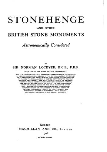
Stonehenge and Other British Stone Monuments Astronomically ConsideredLockyer, Norman, Sir
History
Stonehenge and Other British Stone Monuments Astronomically Considered
Lockyer, Norman, Sir
Druids and Druidism; Great Britain -- Antiquities; Stonehenge (England); Sun worship; Temples
Sun’s declination at time of observation 23° 25′ 5″
Elevation of horizon at point of sunrise 0 35 48
Assuming 2′ vertical of Sun to have been visible at
observation, we have apparent altitude of Sun’s upper
limb 0 37 48
Refraction - 27′ 27″ } -0 27 18
Parallax + 0 9 }
-----------
True altitude of upper limb 0 10 30
Sun’s semi-diameter 0 15 46
-----------
True altitude of Sun’s centre -0 5 16
From this it results that the true azimuth of
the Sun at the time of observation = N. 50° 30′ 54″ E.
And since azimuth of Friar’s Heel = 50 39 5
-----------
2′ of sunrise should be N. of Friar’s Heel 0 8 11
Observed difference of azimuth = 0 8 40
-----------
Observed - calculated = 0 0 29
The observation thus agrees with calculation, if we suppose about 2′ of
the Sun’s limb to have been above the horizon when it was made, and
therefore substantially confirms the azimuth above given of the Friar’s
Heel and generally the data adopted.
II. HINTS ON MAKING, AND METHOD OF REDUCING, THE FIELD OBSERVATIONS.
It will probably be found useful if I give here a few hints as to the
precautions which must be taken in making the field observations and an
example of their reduction to an astronomical basis.
For the _azimuths_ of the sight-lines the investigator of these
monuments cannot do better than use the 25-inch, or 6-inch, maps
published by the Ordnance Survey. Their accuracy is of a very high order
and is not likely to be exceeded, even if approached, by any casual
observer having to make his own special arrangements for correct time
before he can begin his surveying work.
In some cases, however, it may be found that the Survey has not included
every outstanding stone which may be found by an investigator on making
a careful search; many of the stones are covered by gorse, &c., and are
not, therefore, easily found.
In such cases the azimuth of some object that is marked on the map
should be taken as a reference line and the difference of azimuth
between that and the unmarked objects determined. By this means the
azimuths of all the sight-lines may be obtained.
Public-domain text, read in full here on John Shaqi.
Reviews
Reviews
No reviews yet
Be the first to share your thoughts on this work.
Elsewhere in the archive
Join the Discussion
Join the discussion
Sign in to leave a comment or review.
Sign InorCreate an account