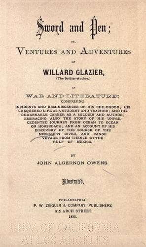
Sword and Pen: Ventures and Adventures of Willard GlazierOwens, John Algernon
History
Sword and Pen: Ventures and Adventures of Willard Glazier
Owens, John Algernon
Glazier, Willard W., 1841-1905; United States -- History -- Civil War, 1861-1865 -- Personal narratives
"Having satisfied myself as to its remotest feeders, I called my
companions into line at the foot of the promontory which overlooks the
lake, and talked for a few moments of the Mississippi and its explorers,
telling them I was confident that we were looking upon the True Source
of the Great River; that we had completed a work begun by De Soto in
1541, and had corrected a geographical error of half a century's
standing. Concluding my remarks, I requested a volley from their
fire-arms for each member of the party, in commemoration of our
discovery. When the firing ceased, Paine gave me a surprise by stepping
to the front and proposing 'that the newly discovered lake be named
"Glazier" in honor of the leader of the expedition.' The proposition was
seconded by Moses Legard, the interpreter, and carried by acclamation,
notwithstanding my protest that it should retain its Indian name,
Pokegama.
"Much to the surprise of every one, as we were about closing our
ceremonies, Chenowagesic assumed an oratorical attitude, and addressed
me as follows in a few words of true Indian eloquence: 'My brother, I
have come with you through many lakes and rivers to the head of the
Father of Waters. The shores of this lake are my hunting-ground. Here I
have had my wigwam and planted corn for many years. When I again roam
through these forests, and look on this lake, source of the Great River,
I will look on you.'
"The latitude of this lake is not far from 47 deg.. Its height above the sea
is an object of geographical interest which, in the absence of actual
survey, it may subserve the purposes of useful inquiry to estimate. From
notes taken during the ascent it cannot be less than seven feet above
Lake Itasca. Adding the estimate of 1,575 feet submitted by Schoolcraft
in 1832, as the elevation of that lake, the Mississippi may be said to
originate in an altitude of 1,582 feet above the Atlantic Ocean. Taking
former estimates as the basis and computing reasonably through the
western fork, its length may be placed at 3,184 miles. Assuming that the
barometrical height of its source is 1,582 feet, it has a mean descent
of over six inches per mile.
"At Lake Bemidji the Mississippi reaches its highest northing, which is
in the neighborhood of 47 deg. 30'. The origin of the river in an untraveled
and secluded region between Leech Lake and the Red River of the North,
not less than a degree of latitude south of Turtle Lake, which was for a
long time supposed to be the source, removes both forks of the stream
outside the usual track of the fur-traders, and presents a good reason,
perhaps, why its fountain-head has remained so long enveloped in
uncertainty."
Public-domain text, read in full here on John Shaqi.
Reviews
Reviews
No reviews yet
Be the first to share your thoughts on this work.
Elsewhere in the archive
Join the Discussion
Join the discussion
Sign in to leave a comment or review.
Sign InorCreate an account