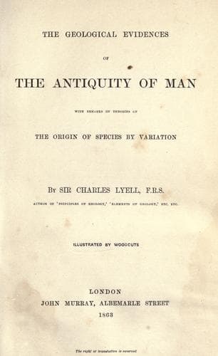
Evolution (Biology); Glacial epoch; Human beings -- Origin; Human evolution
In one of the reports of the Geological Survey of Ireland, published in
1859, Professor Jukes, in explanation of sheet 184 of the maps, alludes
to beds of sand and gravel, and signs of the polishing and furrowing of
the rocks in the counties of Kerry and Killarney, as high as 2500 feet
above the sea, and supposes (perhaps with good reason) that the land
was depressed even to that extent. He observes that above that elevation
(2500 feet) the rocks are rough, and not smoothed, as if by ice. Some
of the drift was traced as high as 1500 feet, the highest hills there
exceeding 3400 feet. Mr. Jukes, however, is by no means inclined to
insist on submergence to the extent of 2500 feet, as he is aware that
ice, like that now prevailing in Greenland, might explain most, if not
all, the appearances of glaciation in the highest regions.
Although the course taken by the Irish erratics in general is such
that their transportation seems to have been due to floating ice or
coast-ice, yet some granite blocks have travelled from south to north,
as recorded by Sir R. Griffiths, namely, those of the Ox Mountains in
Sligo; a fact from which Mr. Jamieson infers that those mountains formed
at one time a centre of dispersion. In the same part of Ireland, the
general direction in which the boulders have travelled is everywhere
from north-west to south-east, a course directly at right angles to the
prevailing trend of the present mountain ridges.
MAPS ILLUSTRATING SUCCESSIVE REVOLUTIONS IN PHYSICAL GEOGRAPHY DURING
THE PLEISTOCENE PERIOD.
[Illustration: Figure 39. Map Of The British Isles]
(FIGURE 39. MAP OF THE BRITISH ISLES AND PART OF THE NORTH-WEST
OF EUROPE, SHOWING THE GREAT AMOUNT OF SUPPOSED SUBMERGENCE
OF LAND BENEATH THE SEA DURING PART OF THE GLACIAL PERIOD.
The submergence of Scotland is to the extent of 2000 feet,
and of other parts of the British Isles, 1300.
In the map, the dark shade expresses the land which alone
remained above water. The area shaded by diagonal lines is
that which cannot be shown to have been under water at the
period of floating ice by the evidence of erratics, or by
marine shells of northern species. How far the several parts
of the submerged area were simultaneously or successively laid
under water, in the course of the glacial period, cannot, in
the present state of our knowledge, be determined.)
[Illustration: Figure 40. Map British Islands]
(FIGURE 40. MAP SHOWING WHAT PARTS OF THE BRITISH ISLANDS
WOULD REMAIN ABOVE WATER AFTER A SUBSIDENCE OF THE AREA
TO THE EXTENT OF 600 FEET.
The authorities to whom I am indebted for the information
contained in this map are--for:
SCOTLAND:
A. Geikie, Esquire, F.G.S., and T.F. Jamieson, Esquire,
of Ellon, Aberdeenshire.
Public-domain text, read in full here on John Shaqi.
Reviews
Reviews
No reviews yet
Be the first to share your thoughts on this work.
Elsewhere in the archive
Join the Discussion
Join the discussion
Sign in to leave a comment or review.
Sign InorCreate an account