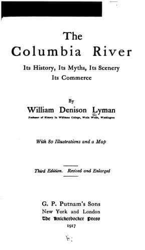
The Columbia River: Its History, Its Myths, Its Scenery, Its CommerceLyman, William Denison
History
The Columbia River: Its History, Its Myths, Its Scenery, Its Commerce
Lyman, William Denison
Columbia River; Columbia River -- Description and travel; Columbia River -- History
Neither words nor pictures are adequate to convey any true conception of
Glacier Lake and its surroundings. Imagine a park of four or five thousand
acres, set with grass and flowers, filled with ice-cold streams of water
clear as crystal, and dotted here and there with trees of the most
exquisite beauty. On every side except the one down which the creek
descends, stupendous, glacier-crowned, and pinnacled peaks penetrate the
blue-black sky at an elevation of ten or eleven thousand feet. At the
south side of the park lies Glacier Lake, a mile long and half as wide,
margined with vivid grass, brilliant flowers, and trees of the Alpine
type, clear as crystal, unless darkened by some sudden scud from the
heights. At the southern end of the lake is a bold bluff of five hundred
feet, over which fall the waters of Railroad Creek, a white band across
the darkness of the bluff. Above may be seen the source of this stream. It
issues from a smaller lake, which lies in the very end of a vast glacier,
a mass of ice two miles wide and about four miles long.
Passing west of Glacier Lake through the enchanted North Star Park, a
veritable land of Beulah (at least when the sun is shining), we climb a
thousand or twelve hundred feet higher, and find ourselves at one of those
thrilling points in the mountains, a "divide." We are on the crest of the
Cascade Mountains. To the east the water flows to Lake Chelan, thence to
the Columbia, and thence to the Pacific by a journey of six hundred miles.
To the west the water descends through the Sauk and the Skagit to Puget
Sound, only a hundred and fifty miles away. This pass is almost always
wrapped in clouds, and it is fittingly known as Cloudy Pass. The masses of
warm vapour rising from the Pacific are hurled against the icy crowns of
Glacier Peak, Mt. Nixon, Mt. Le Conte, North Star Peak, Bonanza Peak, and
the rest of the wintry brotherhood, most not yet even named, and make of
them a genuine "_patriam nimborum_," in Virgil's phrase.
[Illustration: Horseshoe Basin through a Rock Gap, Stehekin Canyon. Photo.
by T. W. Tolman.]
This is the breeding place of tempests. We had just reached the pass on
one occasion, with a smiling sky below, and were just getting our cameras
ready to catch the westward maze of peaks, when almost instantly there
began to wheel and whirl above us great cloud-masses, seemingly from
nowhere, formed right there, in fact, and before we had time to think, we
were wrapped in a furious blizzard. With difficulty, benumbed, drenched,
and exhausted, we managed to pick our way to camp, four miles below. This
was in the early part of August. To be caught in a Chelan snowstorm is a
serious matter at any time, and later in the year, may be all a man's life
is worth.
Public-domain text, read in full here on John Shaqi.
Reviews
Reviews
No reviews yet
Be the first to share your thoughts on this work.
Elsewhere in the archive
Join the Discussion
Join the discussion
Sign in to leave a comment or review.
Sign InorCreate an account