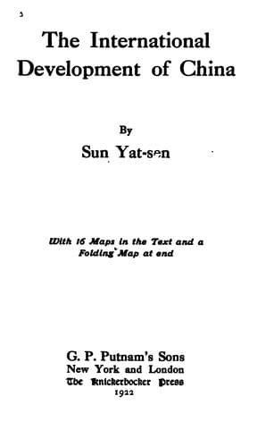
The International Development of ChinaSun, Yat-sen
History
The International Development of China
Sun, Yat-sen
China -- Economic conditions -- 1912-1949; Railroads -- China
This line starts from Lanchow, on the same track of the Lhasa-Lanchow
line as far as the southeastern corner of the Lake Kokonor. Thence
it proceeds on its own track by skirting along the southern shore of
Lake Kokonor to Dulankit, where it turns southwestward to Dzunsasak.
From Dzunsasak, the line proceeds in a westerly course along the
southern side of the Zaidam Swamp, and passes Tunyueh, Halori, and
Golmot to Hatikair. After Hatikair, the line turns northwestward
by Baipa, Nolinjoha, to Orsinte. Thence turning more northward, it
proceeds across the mountain range by Tsesinvitusuik and Tuntunomik to
Chochiang, where it ends by joining the Ansi-Iden and Chochiang-Koria
lines, covering a distance of 700 miles.
j. The Chengtu-Dzunsasak Line
This line starts from Chengtu and proceeds to Kwanhsien on the track
of the Lhasa-Chengtu line, thence northward on its own track by
Wenchuan, to Mauchow. Then, it proceeds northwestward following the
course of the Minkiang to Sungpan. After Sungpan, it ascends the Min
Valley passing Tungpi to Shangleyao, where it crosses the watershed
from the Yangtze River side to that of the Hoangho. Thence the line
proceeds to Orguseri, and following a branch of the Hoangho to the
northwestern turn of its main stream, it proceeds along its right
bank via Chahuntsin to Peilelachabu. There it crosses the Hoangho
to the northwest turn of the old imperial road, where it joins the
Lhasa-Lanchow line and proceeds as far as Lanipar. Then turning
northwestward, it proceeds by its own line to Dzunsasak, where it ends
by joining the Lanchow-Chochiang line. This line covers a distance of
650 miles.
k. The Ningyuan-Cherchen Line
This line starts from Ningyuan and proceeds in a northwestward
direction via Hwaiyuanchen to the Yalungkiang. Then it ascends along
the left side of that river to Yakiang, and crossing to the right side
of that river it proceeds by the old post road to Siolo, where it
turns away from the river and follows the same post road to Litang.
From Litang it proceeds in the same direction but follows another
road to Kangtu, on the left side of the Kinshakiang. Following the
same side of the river, it proceeds to Sawusantusze, where it crosses
the Lhasa-Chengtu line. After Sawusantusze, the line continues in
the same direction and follows the same side of the Kinshakiang via
Tashigompa, to the Huhusair Bridge, where it crosses the Lhasa-Lanchow
line. Then following a northern branch of the Kinshakiang to its
source and crossing the watershed, it proceeds along the caravan road
by Hsinszukiang and Olokung to Cherchen, where it ends, covering a
distance of about 1,350 miles. This is the longest line of this system.
l. The Chengtu-Menkong Line
Public-domain text, read in full here on John Shaqi.
Reviews
Reviews
No reviews yet
Be the first to share your thoughts on this work.
Elsewhere in the archive
Join the Discussion
Join the discussion
Sign in to leave a comment or review.
Sign InorCreate an account