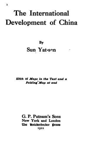
The International Development of ChinaSun, Yat-sen
History
The International Development of China
Sun, Yat-sen
China -- Economic conditions -- 1912-1949; Railroads -- China
This line starts from Kalgan at the Great Wall, and proceeds
northwestward up the plateau, crosses a range of hills into the
Mongolian prairie, and goes to Mingan, Boroldshi, Ude, and Khobor,
where it crosses the Dolon Nor-Urumochi trunk line. After Khobor, it
proceeds across the vast and rich pasture of Mubulan, then proceeds in
a straight line through Mukata and Nalaiha to Urga. From Urga, it goes
into the hilly district crossing Selenga Valley to a point opposite
the southern end of Lake Kos Gol, and then turns northward across a
range of mountains to Khatkhyl on the southern shore of Kos Gol. After
Khatkhyl, it skirts Kos Gol Lake along the western shore for some
distance, then turns northwestward and westward, following the course
of the Khua Kem River to a point near its exit at the frontier line,
then turns southwestward up the Kemtshik Valley to its headwater,
passes through Pakuoshwo, and ends at the boundary line between the
Russian and Chinese territories. This line covers a distance of about
1,700 miles.
c. The Suiyuan-Uliassutai-Kobdo Line
This line starts from Suiyuan in the northwestern corner of Shansi,
and proceeds in a northwesterly direction across the hilly country
into the Mongolian pasture to Tolibulyk, where it crosses the Great
Northern Port-Hami line, and the Great Eastern Port-Urga line. After
Tolibulyk, it proceeds in a straight line in the same direction passing
through Barunsudshi to the capital of Tuchetu. Thence it continues
in the same straight line northwestward to Gorida. After Gorida, it
follows the caravan road to Kolitikolik where it crosses the Great
Northern Port-Urumochi trunk line. From Kolitikolik, the line turns
northwestward, then westward and proceeds across many streams and
valleys and passes by many small towns to Uliassutai. At Uliassutai,
it crosses the B. Junction-Frontier branch of the Great Eastern
Port-Urumochi line. After Uliassutai, the line proceeds westward
following the trade road, passes through Khuduku, Bogu, Durganor, and
Sakhibuluk to Kobdo. Thence the line turns northwestward to Khonga,
Ukha, and Clegei, then westward to Beleu and ends at the frontier. This
line is about 1,500 miles long.
d. The Tsingpien-Tannu Ola Line
Public-domain text, read in full here on John Shaqi.
Reviews
Reviews
No reviews yet
Be the first to share your thoughts on this work.
Elsewhere in the archive
Join the Discussion
Join the discussion
Sign in to leave a comment or review.
Sign InorCreate an account