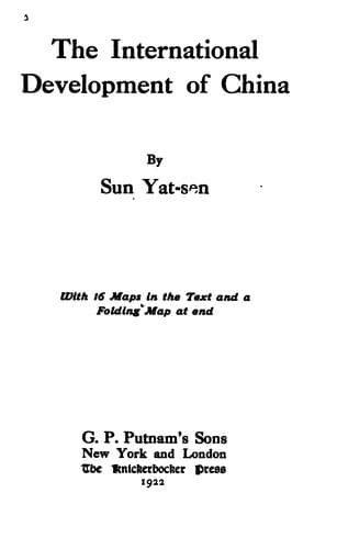
The International Development of ChinaSun, Yat-sen
History
The International Development of China
Sun, Yat-sen
China -- Economic conditions -- 1912-1949; Railroads -- China
This line starts from Ili following the Urumochi-Ili line to Santai,
on the eastern side of Zairam Lake, then proceeds northeastward by
itself to Tuszusai on the west side of Ebi Lake. After Tuszusai it
proceeds to Toli where it crosses the Central Trunk line, that is,
the Great Eastern Port-Tarbogotai line. Thence it goes to Namukotai
and Stolokaitai by passing through a vast forest and a rich coal
field. From Stolokaitai, the line follows the highway and proceeds
to Chenghwaszu, the capital of Altai province. Thence it crosses a
mountain range by the Urmocaitu Pass into the Kobdo Valley, and follows
the course of the Kobdo River to Beleu where it joins the Suiyuan-Kobdo
line and proceeds to Clegei. From Clegei, it proceeds by itself to
Tabtu via Usungola and Ulamkom. At Tabtu, it joins the other line again
and proceeds together to the Khua Kem River in the Tannu Ola district.
It then turns eastward ascending the river to the junction of the Bei
Kem and Khua Kem rivers, then starts again on its own course, following
the former river and proceeds up to its source in a northeasterly
direction ending at the frontier. This line covers a distance of about
900 miles.
g. The Tihwa or Urumochi-Ulankom Line
This line starts from Tihwa following the Dolon Nor trunk line to
Fowkang, then proceeds by its own route almost northward through
Chipichuan to Khorchute. From Khorchute, it turns northeastward and
proceeds across a hilly district to Kaiche, then to Turhuta, where
it crosses a branch line from Junction C. of the Great Northern
Port-Urumochi line. After Turhuta, it turns northward, proceeds up the
Pakaningale Valley to Zehoshita, and then crosses the Tilikta Pass.
Thence it turns northeastward proceeding across the newly cultivated
country to Kobdo. After Kobdo, it proceeds through a fertile plateau,
by crossing many rivers and skirting many lakes to Ulankom, where it
ends by joining the Northwestern Frontier line. It covers a distance of
about 550 miles.
h. The Gaskhiun-Tannu Ola Line
This line starts from Gaskhiun and proceeds northeastward across a
hilly and watered country through Hatonhutuk and Talangjoleu, to
Pornulu. After Pornulu, the line proceeds across the Sapkhyn Valley
by Huchirtu and Porkho to Uliassutai where it meets the Suiyuan-Kobdo,
and the Great Eastern Port-Uliassutai lines. After Uliassutai, the
line proceeds northward to a quite new country by first crossing the
headwaters of Selenga, then the headwaters of the Tess River. In the
Tess Valley the line crosses a vast virgin forest. After emerging
from this forest it proceeds northwestward across the watershed into
the Khua Kem Valley in Tannu Ola and ends by joining the Northwestern
Frontier line. This line covers a distance of about 650 miles.
i. The Uliassutai-Kiakata Line
Public-domain text, read in full here on John Shaqi.
Reviews
Reviews
No reviews yet
Be the first to share your thoughts on this work.
Elsewhere in the archive
Join the Discussion
Join the discussion
Sign in to leave a comment or review.
Sign InorCreate an account