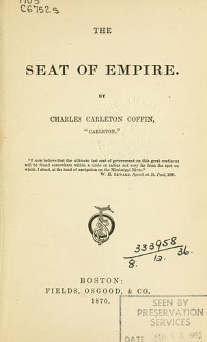
Minnesota -- Description and travel; Northwest, Canadian; Northwestern States; Red River of the North
"Considered as a railroad route, this valley is remarkably favorable,
the rise from Deer Lodge City to the pass or divide between the waters
of the Pacific and Atlantic being quite gentle, and even on the last
few miles, the summit, about 5,000 feet above the sea, may be attained
without employing a gradient exceeding fifty feet to the mile, with
a moderate cut. The whole forty miles from Deer Lodge City to the
summit of the Rocky Mountains by this route can be built as cheaply
as roads are built through prairie countries generally. A little more
work will be required in passing to the east side from this side,
down Divide Creek to Wisdom or Big Hole River; but the line will be
highly favorable on an average all the way to the Jefferson Fork of
the Missouri River. This favorable pass comes into connection more
particularly with the Yellowstone Valley route to the main Missouri
Valley. A remarkable circumstance connected with this pass will
convey a very clear view of its peculiarly favorable character.
Private parties engaged in gold mining, in the gold-fields which exist
abundantly on both sides of the Rocky Mountains, have dug a ditch
across this summit which is only eighteen feet deep at the apex of
the divide, through which they carry the waters of 'Divide Creek,' a
tributary of the Missouri, across to the Pacific side, where it is used
in gold-washing, and the waste water passes into the Pacific Ocean.
This has been justly termed highway robbery."
There are half a dozen passes nearly as low,--Mullan's, Blackfoot,
Lewis and Clark's, Cadotte's, and the Marias.
Going through the Deer Lodge Pass, we find that the stream changes its
name very often before reaching the Pacific. The little brook on the
summit of the divide, turbid with the washings of the gold-mines, is
called the Deer Lodge Creek. Twenty-five miles farther on it is joined
by a small stream that trickles from the summit of Mullan's Pass, near
Helena, and the two form the Hell Gate, just as the Pemigewasset and
Winnipesaukee form the Merrimac in New Hampshire, receiving its name
from the many Indian fights that have taken place in its valley, where
the Blackfeet and Nez Perces have had many a battle. The stream bears
the name of Hell Gate for about eighty miles before being joined by the
Blackfoot, which flows from the mountains in the vicinity of Cadotte's
and Lewis and Clark's Passes.
Public-domain text, read in full here on John Shaqi.
Reviews
Reviews
No reviews yet
Be the first to share your thoughts on this work.
Elsewhere in the archive
Join the Discussion
Join the discussion
Sign in to leave a comment or review.
Sign InorCreate an account