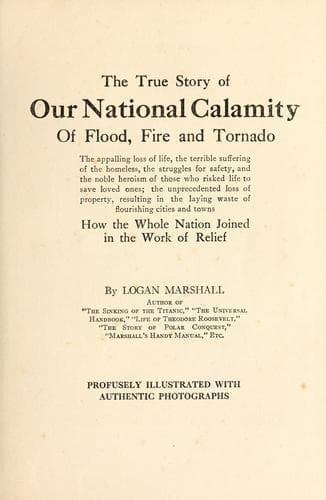
The True Story of Our National Calamity of Flood, Fire and TornadoMarshall, Logan
History
The True Story of Our National Calamity of Flood, Fire and Tornado
Marshall, Logan
Floods -- Ohio River Valley; Omaha (Neb.) -- Tornado, 1913
[Illustration: Copyright by Underwood & Underwood, N. Y.
Crowds at the end of one of the streets which was turned into a racing
river. Many persons floating down on the debris were rescued by willing
hands as they neared this point]
[Illustration: Copyright by George Grantham Bain.
Even before the flood reached its height, the wood-working department of
the National Cash Register Factory was busily putting together
improvised boats that were afterwards of great value in rescuing
marooned residents from their flooded homes]
PHYSICAL CHARACTERISTICS
Within the city limits the waters of Wolf Creek, Stillwater and Mad
Rivers unite with those of the great Miami. The latter stream flows
through the city from north to south. As it reaches the corporation
limits at the north it sweeps to the westward and is joined by
Stillwater River a mile and a half from the court house. Then it takes
an easterly course for half a mile and is joined by the Mad River at a
point about half a mile from the court house.
The river then bends again to the west for more than half a mile and is
joined by Wolf Creek. Its course lies thereafter to the southeast. Great
bridges, some of them of great architectural beauty, cross all of these
streams. The Miami Canal takes water from the Mad River about two miles
northeast of the court house, runs parallel with the Mad River to its
confluence with the Miami and then runs southward to the city limits.
The city is regularly laid out, the street and house number plan being
arranged with arithmetical exactness. Main Street is the center of this
system and the house numbers begin from it or the point nearest it on
the streets that run east or west. For the streets running north and
south the house numbers begin on Third Street or the point nearest Third
Street. Main and Third Streets are respectively the dividing lines of
all streets crossing them.
SPLENDID PUBLIC BUILDINGS
The court house stands at Main and West Third Streets. Distances are
measured from it, and it is at the center of the scheme according to
which streets are laid out. Its original portion was modeled after the
Greek Parthenon and is built of rough white marble taken from quarries
in the vicinity. It is only one of the many buildings of which the city
is proud. Among others are the Steele High School, St. Mary's College,
Notre Dame Academy, Memorial Building, Arcade Building, Reibold
Building, post office, Algonquin Hotel, public library and the Y. M. C.
A. building.
Public-domain text, read in full here on John Shaqi.
Reviews
Reviews
No reviews yet
Be the first to share your thoughts on this work.
Elsewhere in the archive
Join the Discussion
Join the discussion
Sign in to leave a comment or review.
Sign InorCreate an account