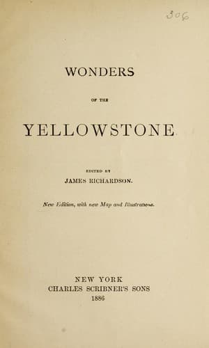
Wonders of the YellowstoneRichardson, James (Geologist)
History
Wonders of the Yellowstone
Richardson, James (Geologist)
Yellowstone National Park
Firehole River, the main fork of the Madison, has its source in Madison
Lake, a beautiful sheet of water set like a gem among the mountains,
dense forests of pines coming down to the very shores. A pointed ridge
extends into the lake on the west side about half a mile, giving it the
form of a heart. Its area is about three miles from north to south,
and two from east to west. Its shores are paved with masses of trachyte
and obsidian. The high mountains about the lake and along the river are
gashed with deep gorges, with steep and jagged sides. Pines grow upon
the mountain-sides where the declivity is so great that they cannot be
scaled. In the obstructed gorges and on the mountain-tops, from 9,000
to 10,000 feet above the sea, little lakes occur every mile or so,
nestled among the pines. Clear-watered mountain-torrents tumble down
the almost vertical ridges to swell the Firehole, making cascades that
in any other region would enjoy world-wide fame. Just before reaching
the geyser-basin, some ten miles below the lake, the river roars
through a deep gorge in the trachyte rock, and as it emerges, dashes
over two cliffs, one twenty, the other fifty feet in height. "These
pretty falls," writes Lieutenant Doane, "if located on an Eastern
stream, would be celebrated in history and song; here, amid objects
so grand as to strain conception and stagger belief, they were passed
without a halt."
Shortly after, the cañon widens and the dominion of the Fire King
begins. Scattered along both banks of the river are boiling springs
from two to twelve feet across, all in active eruption. The craters
of these springs are from three to forty feet high. Like the springs
on Gardiner's River, these gradually seal themselves up by depositing
mineral matter around and over their orifices. Numbers of such
self-extinguished craters, now cones of solid rock, are scattered
along the river-side. Two miles further down the stream is the upper
geyser-basin, an open, rolling valley, two miles wide and three long,
the mountains on either side rising 1,500 feet above the valley, with
steep, heavily-timbered ledges of dark rock.
Public-domain text, read in full here on John Shaqi.
Reviews
Reviews
No reviews yet
Be the first to share your thoughts on this work.
Elsewhere in the archive
Join the Discussion
Join the discussion
Sign in to leave a comment or review.
Sign InorCreate an account