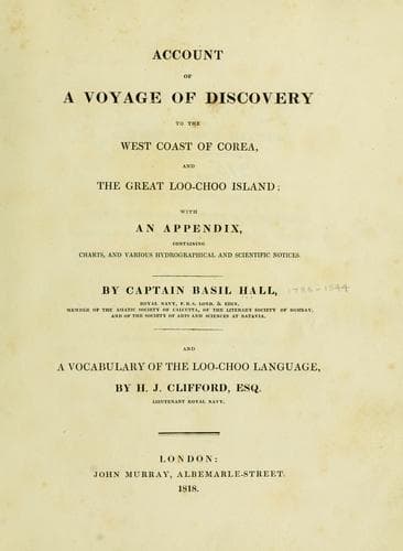
Account of a voyage of discovery to the west coast of Corea, and the great Loo-Choo IslandHall, Basil
History
Account of a voyage of discovery to the west coast of Corea, and the great Loo-Choo Island
Hall, Basil
Korea -- Description and travel; Ryukyu Islands -- Description and travel
The most southern point of our track was 37º 15' north; at this time we
could perceive the low coast stretching to the east and west; the
distance it is difficult to assign very accurately, but it was probably
seven or eight miles, for with a glass we could perceive a number of
people on the shore. I took great pains to ascertain the latitude stated
above, by the meridian altitudes of several stars; the longitude is 1º
39' east of the Pei-ho, or 119º 28' east of Greenwich.
[Sidenote: South-eastern side different from the opposite.]
The coast from the south-west corner of the Gulf to the peninsula of
Teu-choo-foo, is of a totally different character from that opposite to
it, for it is high, and well marked: a range of mountains stretches from
south-west to north-east, at the distance of three or four leagues
inland; their outline is peaked, and they are intersected by deep
ravines without any verdure; the summits are also barren.
[Sidenote: Mount Ellis.]
One of these mountains is very remarkable, having two peaks or paps by
which it can be distinguished at the distance of fifty miles, and bears
the same aspect when viewed from all parts of the Gulf. It lies in 37º
6' north, and 2º 11' east of the Pei-ho, or 120º east of Greenwich. It
has been called Mount Ellis, in honour of Mr. Ellis, the third
commissioner of the Embassy.
[Sidenote: Aspect of the coast.]
[Sidenote: Jane's Isle.]
[Sidenote: Douglas Island.]
Between this range of hills and the shore, there is a lower belt of
elevated ground in a state of high cultivation, covered with many towns
and villages, and interspersed with scattered trees and several
extensive woods; the ground, too, presents a varied surface, so that the
whole offers a pleasing contrast with the rugged land behind. There are
two small islands on this line of coast; the southern one lies in 37º
21' north, and 2º 5' east of the Pei-ho; the other is in 37º 28' north,
and 2º 19' east of the Pei-ho.
[Sidenote: Dangerous shoal.]
There is a dangerous shoal about five leagues off the shore, abreast of
these islands, upon which the Lyra nearly struck at midnight on the
17th instant. When at anchor just outside the shoal, the south island
bore south 20º east, and the other, east 21º south; on the shoal there
was two and a half fathoms, hard bottom. It seems to extend in a north
and south direction, and is very narrow. It lies in 37º 32' north, which
I ascertained by altitudes of the pole star, under favourable
circumstances. It is 1º 58' 30" east of the Pei-ho.
[Sidenote: Soundings and tides.]
The soundings on this side of the Gulf are somewhat deeper than on the
other, but not so deep as might have been expected from the bold nature
of the land. The ebb tide runs to the north-eastward, and the flood into
the Gulf.
[Sidenote: Winds.]
[Sidenote: Melville Point.]
[Sidenote: Teu-choo-foo city.]
Public-domain text, read in full here on John Shaqi.
Reviews
Reviews
No reviews yet
Be the first to share your thoughts on this work.
Elsewhere in the archive
Join the Discussion
Join the discussion
Sign in to leave a comment or review.
Sign InorCreate an account