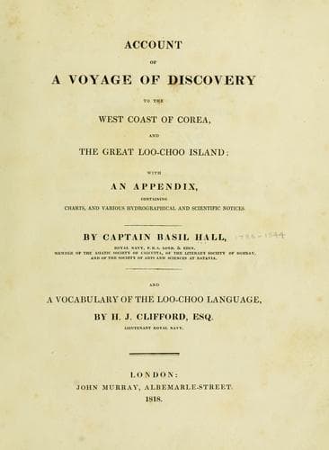
Account of a voyage of discovery to the west coast of Corea, and the great Loo-Choo IslandHall, Basil
History
Account of a voyage of discovery to the west coast of Corea, and the great Loo-Choo Island
Hall, Basil
Korea -- Description and travel; Ryukyu Islands -- Description and travel
The wind was south-east and quite light, from the 11th August to the
17th, when it shifted to north north-east till about eight P.M. when
close in shore near the southern of the two islands; it then blew off,
with all the appearance of a regular land breeze. On the 19th it blew a
gale of wind from the north-east, with a short, high sea; during the
gale we lay at anchor off a remarkable point, connected with the main
land by a low sandy neck; the ground felt soft to the lead, but it was
probably rocky under the mud, as both ships lost a bower anchor by the
cables being cut. This point lies in 37º 42' north, and 2º 35' east of
the Pei-ho. We found the city of Teu-choo-foo to lie in 3º 4' east of
the Pei-ho. The latitude observed in Teu-choo-foo roads was 37º 53'
north, and the longitude 2º 54' east of the Pei-ho. The western Meadow
Island bearing north.
[Sidenote: Cheatow Bay.]
The latitude of a small island at the north-east corner of the Bay of
Cheatow or Zee-a-tow, was determined by the sun's meridian altitude on
shore, to be 37º 35' 52" north, and longitude east of the Pei-ho 3º
45', or in 121º 34' east of Greenwich.
[Sidenote: Oei-hai-oei.]
The latitude of Oei-hai-oei was observed on shore to be 37º 30' 40"
north, and lies 4º 25' east of the Pei-ho.
[Sidenote: Variation of the compass.]
The variation of the compass in the Yellow Sea was found to be 2º 16'
westerly.
The rise and fall of the tide at the anchorage of the squadron off the
Pei-ho was twelve feet. It was high water at full, and change at III.
The flood tide runs to the west-south-west, and the ebb generally about
east and east-south-east. Its strength and direction are a good deal
influenced by the prevalent winds.
NOTICE TO ACCOMPANY THE CHART OF THE WEST COAST OF COREA.
[Sidenote: Inadequate time allowed for so extensive a survey.]
This chart extends from 34º to 38º north latitude, and from 124º to 127º
east longitude. The time of our stay on the coast being only nine days,
no great accuracy is to be expected, and this chart pretends to be
little more than an eye-draught, checked by chronometers and meridian
altitudes of the sun and stars. Under circumstances of such haste, much
has unavoidably been left untouched, and what is now given is presented
with no great confidence.
[Sidenote: General remarks on the methods followed in the survey.]
What follows is extracted from notes made at the time by Mr. Clifford
and myself. The longitudes by chronometer have all been carefully
recomputed, and the greatest care was taken in ascertaining the various
latitudes. The true bearings are in every instance set down, the
variation being allowed for at the moment. The variation of the compass
recorded in this notice, was determined by two azimuth compasses, and
the method recommended by Captain Flinders, of repeating the
observations by turning the compass first one way and then the other,
was invariably followed.
Public-domain text, read in full here on John Shaqi.
Reviews
Reviews
No reviews yet
Be the first to share your thoughts on this work.
Elsewhere in the archive
Join the Discussion
Join the discussion
Sign in to leave a comment or review.
Sign InorCreate an account