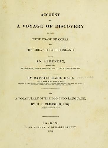
Account of a voyage of discovery to the west coast of Corea, and the great Loo-Choo IslandHall, Basil
History
Account of a voyage of discovery to the west coast of Corea, and the great Loo-Choo Island
Hall, Basil
Korea -- Description and travel; Ryukyu Islands -- Description and travel
8th of September.--At noon we weighed and sailed round the north end of
Thistle Island, carrying seventeen fathoms, till the north end bore
south; we then shoaled to ten and eleven, and one cast nine fathoms. On
rounding the island we steered south, and anchored in eleven fathoms,
soft bottom, about four hundred yards from the middle part of the
island. The islands at this place are so situated as to form a capacious
and secure anchorage, with passages among the islands in all directions.
The latitude observed with an artificial horizon on shore, was 34º 22'
39" north; longitude by mean of two chronometers, agreeing nearly, 126º
2' 52" east. The tides run at the springs at the rate of three and four
knots, the flood to the north north-east; the rise and fall is fifteen
feet. Strong eddies are felt among the islands. The variation of the
compass is 2º 30' westerly.
[Sidenote: Appearance of the Amherst Isles, from the top of a peaked
island.]
On the 9th of September Captain Maxwell and a party went to the summit
of a high peak, on an island to the south-east of the ships, in latitude
34º 20' north, and longitude 126º 6' east. From this spot, elevated
about seven or eight hundred feet above the sea, the view of the islands
was very striking: we endeavoured to number them, but our accounts
varied, owing to the difficulty of estimating the number in the distant
groups; it will serve, however, to give some idea of this splendid
scene, to say that the lowest enumeration gave one hundred and twenty
islands.
Many of these islands are large and high, almost all are cultivated, and
their forms present an endless diversity.
High land was seen to rise above the distant islands in the east and
north-east; this probably was the main land of Corea, for it seemed more
extensive and connected than any group of islands we had seen.
[Sidenote: Difficulty of estimating the number of islands on this
coast.]
We had now ran along upwards of two hundred miles of this coast, and at
every part which we approached, the islands were no less thickly sown
than here; so that our attempts to enumerate them all, or even to assign
places on the chart to those which we passed the nearest to, became
after a time quite hopeless.
[Sidenote: Winds and weather.]
During our stay upon the coast of Corea, between the 1st and 10th of
September, the winds were principally from the northward; the weather
was moderate and clear; and occasionally calm during the heat of the
day.
[Sidenote: Barometer and thermometer.]
The barometer rose and fell gradually between 29. 78. and 29. 98. The
thermometer was never above 82º, and never, even at night, under 72º For
further details respecting the winds and weather, see the Meteorological
Journal.
[Illustration: Chart of GREAT LOO CHOO Island
_Surveyed in H.M. Sloop LYRA by Captain Basil Hall_
1816]
NOTICE TO ACCOMPANY THE GENERAL CHART OF THE GREAT LOO-CHOO ISLAND, AND
THE CHARTS OF NAPAKIANG, AND PORT MELVILLE.
Public-domain text, read in full here on John Shaqi.
Reviews
Reviews
No reviews yet
Be the first to share your thoughts on this work.
Elsewhere in the archive
Join the Discussion
Join the discussion
Sign in to leave a comment or review.
Sign InorCreate an account