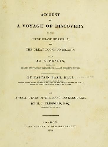
Account of a voyage of discovery to the west coast of Corea, and the great Loo-Choo IslandHall, Basil
History
Account of a voyage of discovery to the west coast of Corea, and the great Loo-Choo Island
Hall, Basil
Korea -- Description and travel; Ryukyu Islands -- Description and travel
[Sidenote: Different names of this island.]
This island is called Loo-choo, and sometimes Doo-choo, by the natives.
In our maps it is variously written, but mostly Lekayo: the Chinese know
it by the name of Low-kow. The spelling used by Mr. Horsburgh in his
directions, Lieou-kieou, or Lieu-chew.
[Sidenote: Geographical limits and general aspect.]
The island lies between 26º 4-3/4' and 26º 52-1/2', north, and between
127º 34' and 128º 18' east, being very nearly sixty miles long in a
north-east direction, and preserving a tolerably uniform breadth of
about ten or twelve miles. The north end is high and bold, with wood on
the top of the hills. The north-east coast is also abrupt, but quite
barren. The south-east side is low, with very little appearance of
cultivation. The south, south-west, and western faces, particularly the
two former, are of moderate height, and present a scene of great
fertility and high cultivation: it is to this quarter that the mass of
population have resorted. The north-west side is generally rugged and
bare.
[Sidenote: Deep bay.]
[Sidenote: Barrow's Bay.]
There are two deep indentures, one on each side of the island; that on
the west has at least one hundred fathoms depth, and appears to have no
coral in it: while the eastern bight is extremely shallow, and is not
only skirted by a broad fringe of coral, but has reefs in the centre;
and these last are very dangerous, for they give no warning either by
breakers or discoloration of the water, or by soundings: and this remark
will apply generally to all the reefs round this island, rendering the
navigation, particularly at night, very dangerous.
[Sidenote: General caution respecting coral reefs.]
[Sidenote: Sugar Loaf or Eegooshcoond.]
The most remarkable headland is the island called by Captain Broughton
the Sugar Loaf, and by the natives Eegooshcoond (tower or castle); it
can be seen distinctly at the distance of twenty-five miles when the eye
is elevated only fifteen feet. It is a high conical mountain, varying
very little in its aspect when viewed from different quarters: as there
is no other peak like it on or near this island, it cannot be mistaken.
The latitude of the peak is 26º 43' north; and I have reason to believe
that this is within one mile of the truth. Its longitude is 127º 44', or
6' east of the observatory at Napakiang, by two chronometers. The base
of the cone and one-third of the way up is covered with houses; and the
whole island has the appearance of a garden. When nearly on the meridian
of the Sugar Loaf its top seems rounded off.
[Sidenote: Two safe anchoring places.]
[Sidenote: Geographical position of Napakiang.]
Public-domain text, read in full here on John Shaqi.
Reviews
Reviews
No reviews yet
Be the first to share your thoughts on this work.
Elsewhere in the archive
Join the Discussion
Join the discussion
Sign in to leave a comment or review.
Sign InorCreate an account