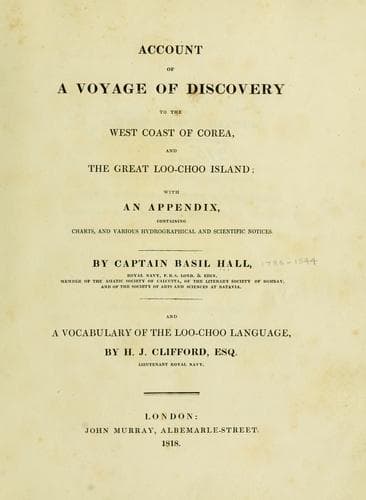
Account of a voyage of discovery to the west coast of Corea, and the great Loo-Choo IslandHall, Basil
History
Account of a voyage of discovery to the west coast of Corea, and the great Loo-Choo Island
Hall, Basil
Korea -- Description and travel; Ryukyu Islands -- Description and travel
There are two places where ships can ride in safety, Napakiang Roads
on the south-west, and Port Melville on the north-west side of the
island. The first of these is the one in which his majesty's ships
Alceste and Lyra lay for upwards of a month. By means of a base of 1319
feet on a coral reef, which dried at half ebb, we were enabled to make
the survey which accompanies this notice. The latitude of the
observatory was determined to be 26º 13' 34" north, the mean of three
meridian altitudes of the sun by a sextant of Cary's, and five by a
circle of Troughton's, the extreme difference being 20". The longitude
is 127º 38' east; this was ascertained by measuring the difference of
longitude between the observatory and Lintin Island off Canton river in
a run of six days; on which occasion two chronometers on board the Lyra
gave within one mile the same difference of longitude, viz. 13º 50',
with that shewn by two others on board his majesty's ship Alceste; the
longitude of Lintin being 113º 48' east of Greenwich. The longitude, by
lunar observations, is 127º 37' 28". The plan of Napakiang roads will be
found sufficient without many directions for ships wishing to enter it.
The principal danger lies in the outer reefs, which do not show when the
weather is very fine and there is little swell; on such occasions a boat
ought to go a-head at least a quarter of a mile, and the ship should put
about instantly upon approaching the reefs, which are every where bold.
A ship coming from the westward ought to steer between the north-eastern
of the group of high islands to the south-westward, and a low green
island with extensive reefs to the northward, in latitude 26º 15' north.
On passing which she should haul up east by south, giving Reef Island a
birth of at least a mile.
[Sidenote: Plan of Napakiang.]
[Sidenote: Directions on approaching Napakiang.]
[Sidenote: Reef Island.]
[Illustration]
[Sidenote: Directions for entering Napakiang roads.]
[Illustration: NAPAKIANG ROADS
_on the S.W. Side of the_ GREAT LOO CHOO Island
_Laid down from actual survey by Captain Basil Hall R.N. H.M. Sloop
LYRA_ 1816]
[Sidenote: Capstan Rock.]
[Sidenote: Best anchorage off the mouths of two rivulets.]
[Sidenote: The northern entrance.]
Public-domain text, read in full here on John Shaqi.
Reviews
Reviews
No reviews yet
Be the first to share your thoughts on this work.
Elsewhere in the archive
Join the Discussion
Join the discussion
Sign in to leave a comment or review.
Sign InorCreate an account