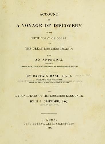
Account of a voyage of discovery to the west coast of Corea, and the great Loo-Choo IslandHall, Basil
History
Account of a voyage of discovery to the west coast of Corea, and the great Loo-Choo Island
Hall, Basil
Korea -- Description and travel; Ryukyu Islands -- Description and travel
On coming from the southward the only danger that lies in the way is a
coral reef even with the water's edge; it is of a circular form, and at
low water several rocks shew on it. On every occasion that we passed the
sea broke high upon it; but from what we saw of other similar reefs, it
seems very probable that when the water is smooth it will give no
warning: it is about eight miles west, 15º north of the extreme south
point of the island, and lies in latitude 26º 7' north, and longitude
127º 26' east of Greenwich.
[Sidenote: Port Melville.]
[Sidenote: Directions to approach it, and to anchor previous to entering
the harbour.]
Port Melville is on the north-west side of the island. A ship wishing to
enter it ought to make the Sugar Loaf Peak, and steer between it and the
cluster of islands to the northward, directly for the bottom of the
bight, which lies between the Sugar Loaf and the north end of the
island; here Herbert's Island will be seen close to the shore, run in
towards its western end, anchor when it bears east one-third of a mile,
and the Sugar Loaf west one-quarter north, barely shut in with a low
dark green point of land; here you will have from seventeen to twenty
fathoms.
[Sidenote: Boats should be sent to buoy the channel.]
The entrance of the harbour is narrow, and ought not to be attempted
without previous examination by the boats of a ship wishing to enter it.
With a very little trouble the passage might be buoyed: a large ship
will probably find it expedient to warp in and out.
[Sidenote: Eye-draught of Port Melville.]
The eye-draught, with the directions on it, render much further notice
here superfluous. The harbour is secure, and sufficiently capacious for
a numerous fleet. It extends in a north and south direction for about
two miles, varying in breadth and form in a very remarkable manner; at
the lower or north end there are two basons of a circular form, and have
from nine to fifteen fathoms, soft bottom; these are about one-third of
a mile across. At some places the steep rocks which form the banks
approach within an hundred yards of one another; here the water is
sixteen, eighteen, and twenty fathoms. There are many fine coves, some
with shelving shores, and others steep-to. Every part of the harbour is
secured from the sea, and many parts from all winds: it is well
calculated for the re-equipment of ships, for it is not only secure as
an anchorage, but offers conveniences for landing men and stores, and
also for heaving down or careening a ship.
[Sidenote: Villages of Cooee and of Oonting.]
There are several large villages on the shores of an extensive bay,
communicating with the sea to the north-eastward, at the upper or south
end of the line of harbours, and one called Oonting on the west side of
the lower harbour; there is another of some extent, on the south side of
Herbert's Island, called Cooee.
Public-domain text, read in full here on John Shaqi.
Reviews
Reviews
No reviews yet
Be the first to share your thoughts on this work.
Elsewhere in the archive
Join the Discussion
Join the discussion
Sign in to leave a comment or review.
Sign InorCreate an account