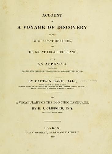
Account of a voyage of discovery to the west coast of Corea, and the great Loo-Choo IslandHall, Basil
History
Account of a voyage of discovery to the west coast of Corea, and the great Loo-Choo Island
Hall, Basil
Korea -- Description and travel; Ryukyu Islands -- Description and travel
By permission of Captain Maxwell, I have named this excellent harbour,
Port Melville, in honour of Lord Viscount Melville, First Lord of the
Admiralty.
[Illustration: _Draught_ _of_ PORT MELVILLE _on the N.W. side of_ _GREAT
LOO-CHOO_ Island _by_ _Captain Basil Hall_ _and_ _the_ OFFICERS _of_
_His Majesty's Sloop_ LYRA _11th Octr. 1816._]
From the top of a range of hills which we ascended, rising on the south
side of the upper bay of Port Melville, we could see the south-west
corner of the great western bay, the whole range of Port Melville, and
the coasts adjacent.
[Sidenote: Geographical position of Port Melville.]
The latitude of Herbert's Island, which lies directly off the entrance
of Port Melville, is 26º 42-2/3' north, by meridian altitude of the sun
observed on shore. Its longitude, which is also the longitude of Port
Melville, is 127º 55' east, or 17' east of Napakiang observatory. The
Sugar Loaf bears from the centre of the island, west 4-1/2º north, about
ten miles.
[Sidenote: Coast skirted by coral reefs.]
As the whole part of this coast is skirted by dangerous coral reefs, the
greatest attention should be paid to the lead, and the ship ought to
be put about the instant that the water shoals to eight, seven, or six
fathoms. On running in for the west end of Herbert's Island, on the
morning of the 11th of October, we passed over a coral ledge having nine
fathoms on it. The west point of Herbert's Island bore at this time
south 8º 40' west, distant four or five miles. Before and after passing
this we had from thirty to sixty fathoms; whether it was shoaler than
nine fathoms at any place, was not ascertained, but the circumstance is
deserving of notice, and ought to teach the necessity of constant
vigilance, when near coral reefs.
[Sidenote: Montgomery islands.]
The cluster of islands to the northward of Port Melville lies between
26º 54' and 27º 4-1/2' north, the north end of the northern one being in
longitude 127º 57' east, or 19' east of the observatory. It does not
appear that there is any good anchorage about them; and there are
dangerous reefs off the south and south-western ones.
[Sidenote: Hope Point.]
The north end of the Great Loo-choo lies in 26º 52-1/2' north, and this
is probably within one, or at most two miles of the truth. We observed
in 27º 00' 15" north, at which time the northern extreme bore east 59º
south, nine miles by estimation, an inference which was checked by the
distance run on a direct course afterwards. The longitude is 128º 9'
east, or 31' east of the observatory.
[Sidenote: Sidmouth Point.]
Public-domain text, read in full here on John Shaqi.
Reviews
Reviews
No reviews yet
Be the first to share your thoughts on this work.
Elsewhere in the archive
Join the Discussion
Join the discussion
Sign in to leave a comment or review.
Sign InorCreate an account