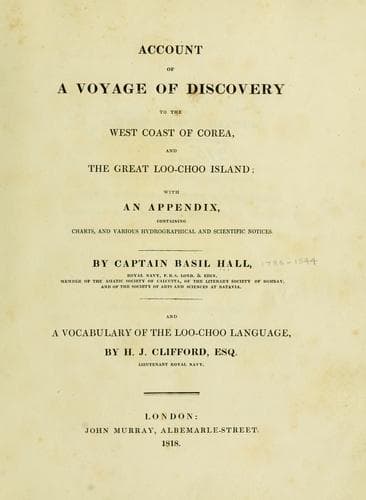
Account of a voyage of discovery to the west coast of Corea, and the great Loo-Choo IslandHall, Basil
History
Account of a voyage of discovery to the west coast of Corea, and the great Loo-Choo Island
Hall, Basil
Korea -- Description and travel; Ryukyu Islands -- Description and travel
The coast from the north point runs south-east by east, with some minor
deviations, nearly four leagues: great pains were taken to ascertain
this precisely, as the former charts not only place it many miles
further north, but make the coast at this end lie east and west. The
north-east point lies in 26º 47' north, and longitude 128º 18' east, or
40' east of the observatory. The latitude was determined by the meridian
altitude of Sirius and an altitude of Polaris, so near daylight that the
horizon was well defined; but as this point, off which there is a small
island, was some miles north of the ship at the time of observation, the
above latitude may err possibly two miles. It was intended to have
examined two islands which lie to the north-eastward of the north point,
but a strong current in the night carried us so far to leeward, that we
could not effect this object; the situation, therefore, of these two
islands, may perhaps not be accurately laid down in the chart.
[Sidenote: Barrow's Bay.]
The deep indenture about the middle of the east side of the island is
unsafe to enter during the north-east monsoon: as the wind, however, had
westing in it, we sailed up to within three or four miles of the top,
carrying from thirty to twenty fathoms water; but when about to haul in
for the north side, where there appeared to be a bay, we shoaled
suddenly from twenty-four to eight fathoms: the helm was instantly put
down, and when head to wind, we had only five fathoms. While in stays
the water was observed to wash on a rock not a hundred yards to leeward
of us, on which we must infallibly have struck, had we bore up instead
of tacking.
[Sidenote: South-east coast dangerous.]
From the north-east to the south-east point, the coast runs south 40º
west; the shore to the north-east of this deep bight is bold, and seems
clear; that on the south-west side of it presents a formidable barrier
of islands and coral reefs, which break to a great distance: in fine
weather this part of the coast ought to be approached very cautiously.
[Sidenote: South Point.]
[Sidenote: Reef.]
The southern extreme of this island lies in latitude 26º 4' 46" north,
determined with great care by the meridian altitude of the sun on shore;
and in longitude 127º 35' east, or 3' west of the observatory. There is
good anchorage from twenty to thirty fathoms, south a little easterly,
of this point. Between this point and the group of islands to the
westward, there is a dangerous reef, already spoken of; it lies in 26º
7' north, and 127º 26' east; it bears 26' west, 15º north from the south
point of the island, distant eight miles. Immediately round the point on
the west side there is a shallow harbour, formed by coral reefs, but the
entrance is narrow and intricate.
[Sidenote: South-western group.]
Public-domain text, read in full here on John Shaqi.
Reviews
Reviews
No reviews yet
Be the first to share your thoughts on this work.
Elsewhere in the archive
Join the Discussion
Join the discussion
Sign in to leave a comment or review.
Sign InorCreate an account