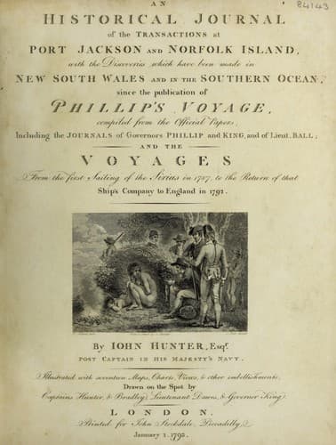
An Historical Journal of the Transactions at Port Jackson and Norfolk IslandHunter, John
History
An Historical Journal of the Transactions at Port Jackson and Norfolk Island
Hunter, John
New South Wales -- History -- Sources
In the evening, finding, as I apprehended, the ship setting
fast to the westward, we hauled up to the eastward, in order to
keep as near the Cape as possible, until day-light. That night
also we had little wind, and that was variable; we kept her head
as much as possible to the eastward, and at eight in the morning
the Cape bore north 16 deg. 00' east, distant eleven or twelve
miles; which was much farther off than I wished; at the same
time, a projecting point on the coast of New-Britain bore west
north-west: we were becalmed most of this day, and were still
setting to the westward. In the afternoon of the 22d, a very
light breeze sprung up from the eastward, with which we
endeavoured to get within Wallis's island; we sounded frequently,
but had no ground with 130 fathoms of line: this situation was
truly distressing, for although we had every thing set, we could
not force the ship more than a knot and a half through the water,
and had the mortification to see that we were driving to the
westward: about two o'clock the breeze freshened up a little, and
although we were within three miles of anchorage in Gower's
harbour, we saw plainly we could not fetch it; however I had
hope, as Carteret's harbour is laid down in the chart four
leagues to leeward of it, that we might with ease get in there;
we had a boat in shore at this time sounding, and it was the
general opinion, that unless we bore away soon, we should not run
the distance before dark, we therefore made the signal for the
boat, and bore away.
The northermost point in sight from the ship was, according to
the sketch made in the Swallow, Point Carteret; we considered the
north-west entrance as near to that point, but intended of course
to avail ourselves of being to windward to go in at the
southermost passage. The distance, as I have already mentioned,
being marked four leagues from Wallis's Island to Carteret
harbour, unfortunately deceived us; and Cocoa-nut island being
low, when compared with the high land under which it lies,
appeared like a low point projecting from it: we were past the
south entrance of this harbour, before we thought ourselves
within six miles of it, and had now a strong south-east wind,
which two hours sooner, would have enabled us to have got into
English Cove, in Gower harbour: the distance from harbour to
harbour did not appear to me to be more than two leagues, if so
much. It was our misfortune, that the distances marked in the
sketch just mentioned, did not agree with our judgment of
them.
Public-domain text, read in full here on John Shaqi.
Reviews
Reviews
No reviews yet
Be the first to share your thoughts on this work.
Elsewhere in the archive
Join the Discussion
Join the discussion
Sign in to leave a comment or review.
Sign InorCreate an account