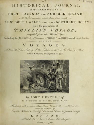
An Historical Journal of the Transactions at Port Jackson and Norfolk IslandHunter, John
History
An Historical Journal of the Transactions at Port Jackson and Norfolk Island
Hunter, John
New South Wales -- History -- Sources
Early in the morning of the 28th, the wind veered to
south-west, and, imagining ourselves to be about fifteen leagues
to the westward of Norfolk-Island, we hove to at seven in the
evening. The next morning, at day-light, we made sail, steering
east: we had great numbers of birds round us, and the clouds
hanging very thick to the eastward, indicated our being near the
land; but it was not till eleven o'clock in the forenoon that we
made the largest of the two small islands which lie off the
south-west end of Norfolk-Island, bearing east 16 deg. north,
five leagues distant.
At noon, the body of Norfolk-Island bore north 61 deg. east,
distant seven or eight leagues. At four in the afternoon, we
rounded the northern point of the island, which I named Point
Howe, in honour of the first lord of the admiralty, at the time
we left England: we soon after hove to, off a cascade, which is
situated near the middle of the north side of the island: the
boat was hoisted out, and lieutenant Ball and myself went to
examine if it were possible to land on a stony beach, which is
situated a little to the eastward of the cascade; but we found so
great a surf rolling on the shore, that the loss of the boat, and
perhaps of the sailors lives, would have been the consequence of
our attempting to land; so that at sun-set we returned on board,
and the boat was hoisted in.
Early the next morning, lieutenant Ball and myself went in a
boat to examine whether we could find a landing-place from the
southermost, or Point Ross, to the north-west, or Point Howe,
which was (the wind being then west-north-west,) the lee side of
the island. From the cascade to a small bay, which lies on the
north-east side of the island, we found the shore lined with
steep inaccessible cliffs, against which the sea broke with great
violence, and rendered the boat's approach impracticable. The
small bay, which I named Ball-bay, (after lieutenant Henry
Lidgbird Ball) lies in a west-north-west, and east-south-east
direction, and is about four cables length deep, and two cables
length wide: the bottom of the bay is a stony beach, on which the
surf broke with too much force to risque the boat; though at
times, the surf probably may be less.
From this bay, we rowed round the south-east point, and opened
the two islands, the largest of which, I named Phillip-Isle,
after Governor Phillip; and the smallest, Nepean-Isle, after Evan
Nepean. The point of Norfolk-Island, opposite Nepean-Isle, I
called Point Hunter, after captain John Hunter, of his Majesty's
ship the Sirius.
Public-domain text, read in full here on John Shaqi.
Reviews
Reviews
No reviews yet
Be the first to share your thoughts on this work.
Elsewhere in the archive
Join the Discussion
Join the discussion
Sign in to leave a comment or review.
Sign InorCreate an account