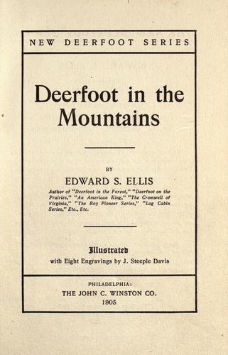
Overland journeys to the Pacific -- Juvenile fiction; Shawnee Indians -- Juvenile fiction; Siksika Indians -- Juvenile fiction
The area of Louisiana was more than a million square miles, and greater
than that of the whole United States as it then existed. It was
purchased from France for the sum of fifteen million dollars, the
treaty to that effect between the two governments being ratified in the
summer of the year named. By this single transaction the dominion of
the United States was extended across the whole continent of North
America, from the Atlantic to the Pacific.
The exploring party that entered this enormous region was under the
command of Captains Meriwether Lewis and William Clark. It will be
noted that both of these officers held the same rank. Military law does
not permit the anomaly of equal authority, and Clark was really the
junior, but in point of fact the rights of the two were the same. They
were so considerate toward each other that no difference ever arose,
and "the actual command and conduct of the expedition devolved upon
each in exactly equal degree."
Lewis belonged to an old Virginia family and early displayed
enterprise, boldness and discretion. He won the promotion to a
captaincy at the age of twenty-two, and was barely thirty years of age
when called to take part in this memorable exploration. Clark was also
a native of Virginia, but his childhood had been spent in Kentucky,
whither his parents removed. He was a younger brother of the more
famous General George Rogers Clark, but for whom the Allegheny
Mountains instead of the Mississippi would have been our western
boundary after the close of the Revolution. He was about thirty-three
years old when he joined Lewis. He possessed excellent qualities, and
it may be said that no two persons could have been selected who were
better fitted to lead the score and a half of men across the continent.
On July 5, 1803, Captain Lewis left Washington, hoping to gather his
men and materials in time to reach La Charrette, the upper white
settlement on the Missouri, and there spend the winter. The inevitable
delays followed, and the Spanish commandant of the province, not having
received official notice of the transfer, would not allow the
expedition to pass through the territory. The explorers, therefore,
went into camp for the winter at the mouth of the Du Bois River, a
little north of St. Louis, on the eastern bank of the Mississippi. This
point was left on May 14, 1804. Entering the Indian country the leaders
held a council with the Ottoes and Missouris, and by the distribution
of gewgaws and presents won the good will of the red men. Lewis and
Clark named the place of meeting Council Bluff, which is retained to
this day, although the site of the modern city is below the meeting
place and on the opposite, side of the river.
Public-domain text, read in full here on John Shaqi.
Reviews
Reviews
No reviews yet
Be the first to share your thoughts on this work.
Elsewhere in the archive
Join the Discussion
Join the discussion
Sign in to leave a comment or review.
Sign InorCreate an account